Zion National Park
ft. Bryce National Park and Valley of Fire State Park
Painted walls of rock
Zion is full of hikes that are different -- whether that's balancing across the a slender rock spur on Angel's Landing, finding and forging your own path across (and sometimes in) a stream in the Left Fork Canyon to find the Subway, or strolling along a paved river walkway, there is something for everyone. Paired with Bryce, the scenery you will see in these parks literally can likely be found no where else on earth. It is a stunning example of the sheer diversity of nature we can find in the USA and hope that we can preserve these amazing formations for the future.
Spreadsheet
Logistics
- Some hikes, including Angel's Landing and Subway (Left Fork), require permits. If you are aiming for the seasonal lottery, that means you should be figuring out trip dates ~3-5 months before.
- Zion is in a desert climate! This means it gets quite toasty between June and September, but there can be snow storms/closures in the winter months. Bryce, being at a higher elevation, is actually cooler but also means snow lingers longer too. Be careful hiking in canyons or near rivers if rain is predicted. You don't want to be caught in a flash flood!
- I was quite impressed by the Zion Shuttle System and its frequency.
- Being relatively accessible from Las Vegas with decent sized towns nearby means flights (and lodging) are not as difficult to snag as some other more remote parks.
Day 1: Arrival
In January, I had floated the idea of Zion with Angel's Landing and Subway as two of our hikes. This did necessitate planning ahead of time -- both hikes require permits (Subway is technically a wilderness permit), but you do get the results early enough where you can use that help determine the logistics of your trip (or decide to go somewhere else if you don't win the lottery). We gambled on end of May to take advantage of Memorial Day as well balance the heat as well hoping the Narrows would be open (spoiler: it wasn't). In my miniscule sample size, the permits are not too hard to get and multiple members of our group of 4 scored first choices for the hikes. The most up to date permit information and dates can be found on the National Park Service website.
The best airport to fly into for Zion is Las Vegas (LAS), which has solid (and cheap) connections throughout the country. From there, it was a 2.5 hour drive to the Airbnb we were staying in in Hurricane, Utah. In theory, the closest town to stay in is Springdale, but lodging there is limited and pricey. We saved quite a bit staying in Hurricane, and our drive to the visitor center was only 30 or so minutes.
On to the fun parts!
Day 2: Angel's Landing
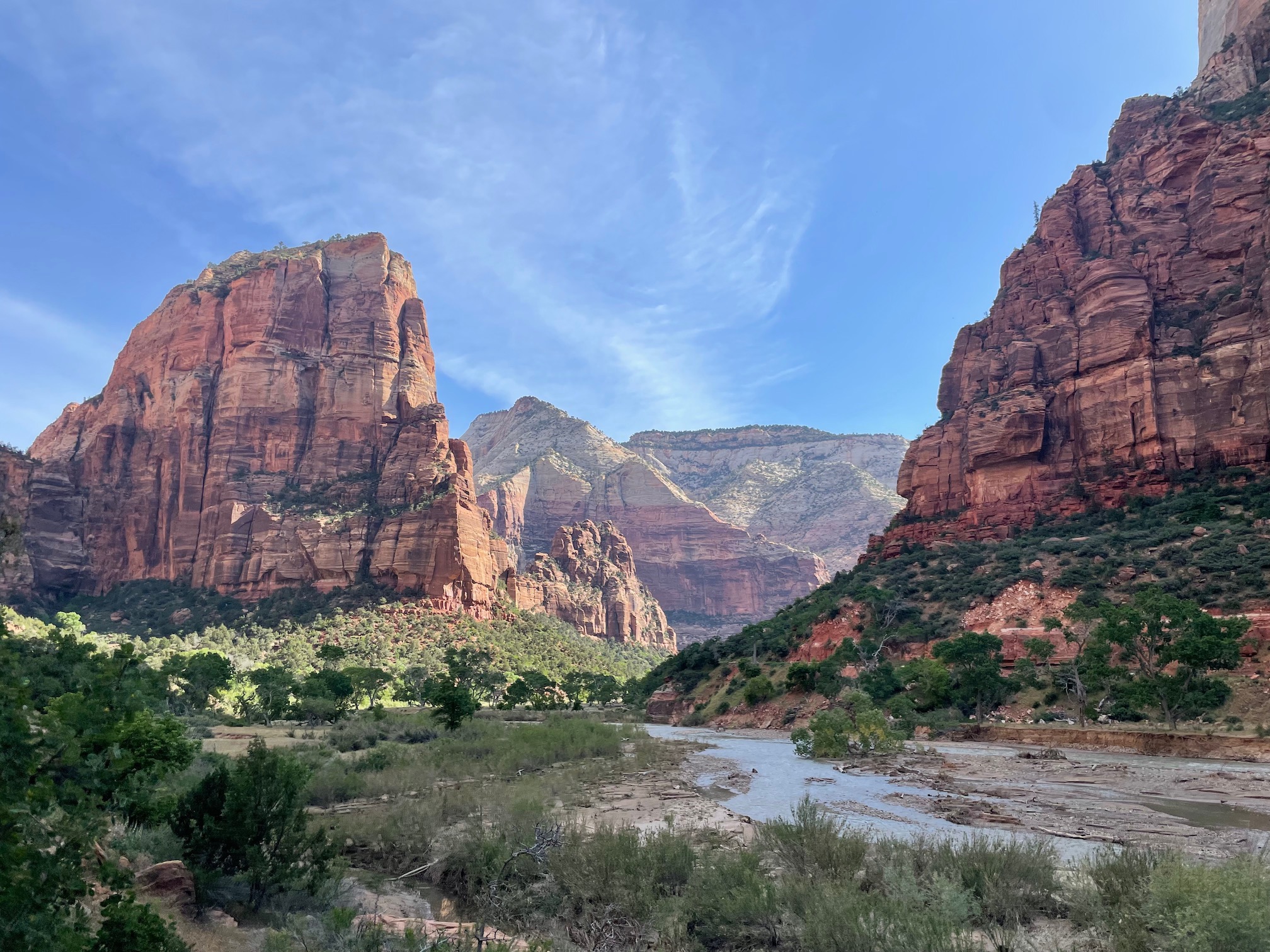
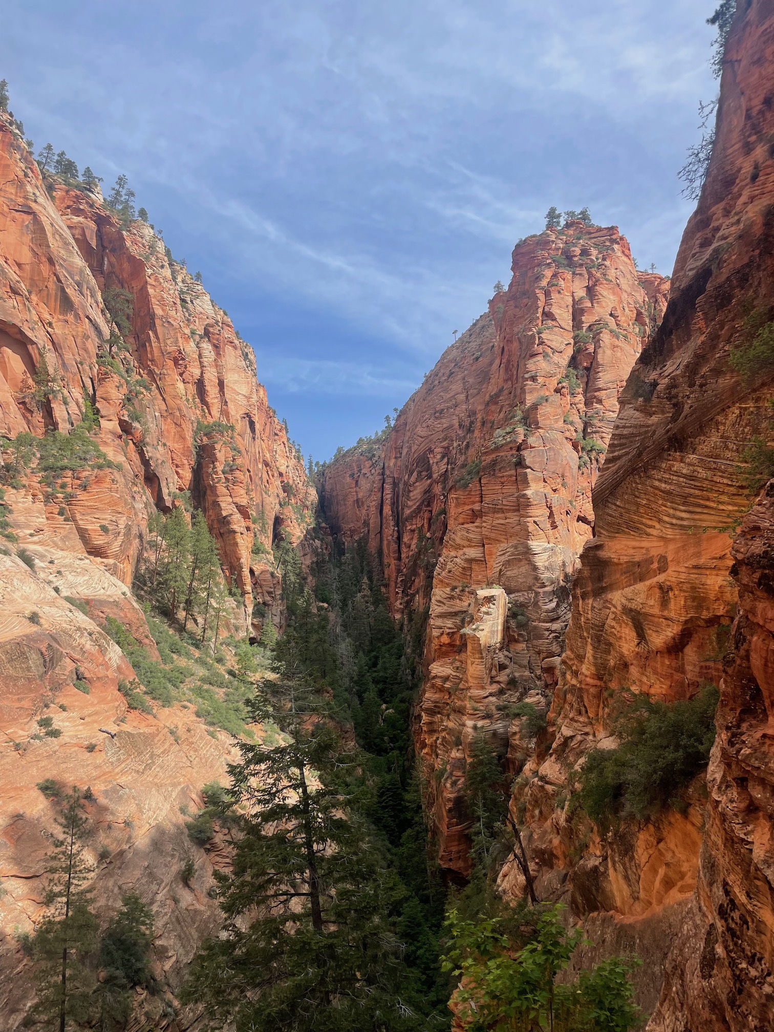
From Hurricane, we drove out 30 minutes to get to the Zion Canyon Visitor Center to pick up our Wilderness Permit for the Left Fork, which would allow us to hike Subway tomorrow. There was a bit of traffic getting into the park around 8 AM, but seemed mostly due to people needing to buy tickets than actual congestion. We had no issues parking and then picking up our permit (the ranger will ask you a few questions, so be prepared -- as you should for any hike -- to know what you are tackling with Subway). As foreshadowed, it was a very high snowpack year for the Western US so river flow was higher than the previous years. It meant the Narrows was closed (it only opens once the Virgin River is below 150 CFS) and also meant it seemed pretty easy to get "day of" permits for Subway, since people had a concern about the flow/coldness of the river and the hike would not have the iconic green pools it is known for (spoiler: it was still very pretty awesome).
Our permit time for Angel's Landing was 9 am - 12 pm at the Grotto bus stop, though they didn't actually check our permit until the base of Angel's Landing. We took the shuttle into the park (private vehicles aren't allowed during certain times) and despite the horror stories I read online, the shuttle was efficient and frequent. We started the hike at 9:45 AM and it definitely was already a bit warm (at least a higher temperature than I usually prefer my hikes to be at).
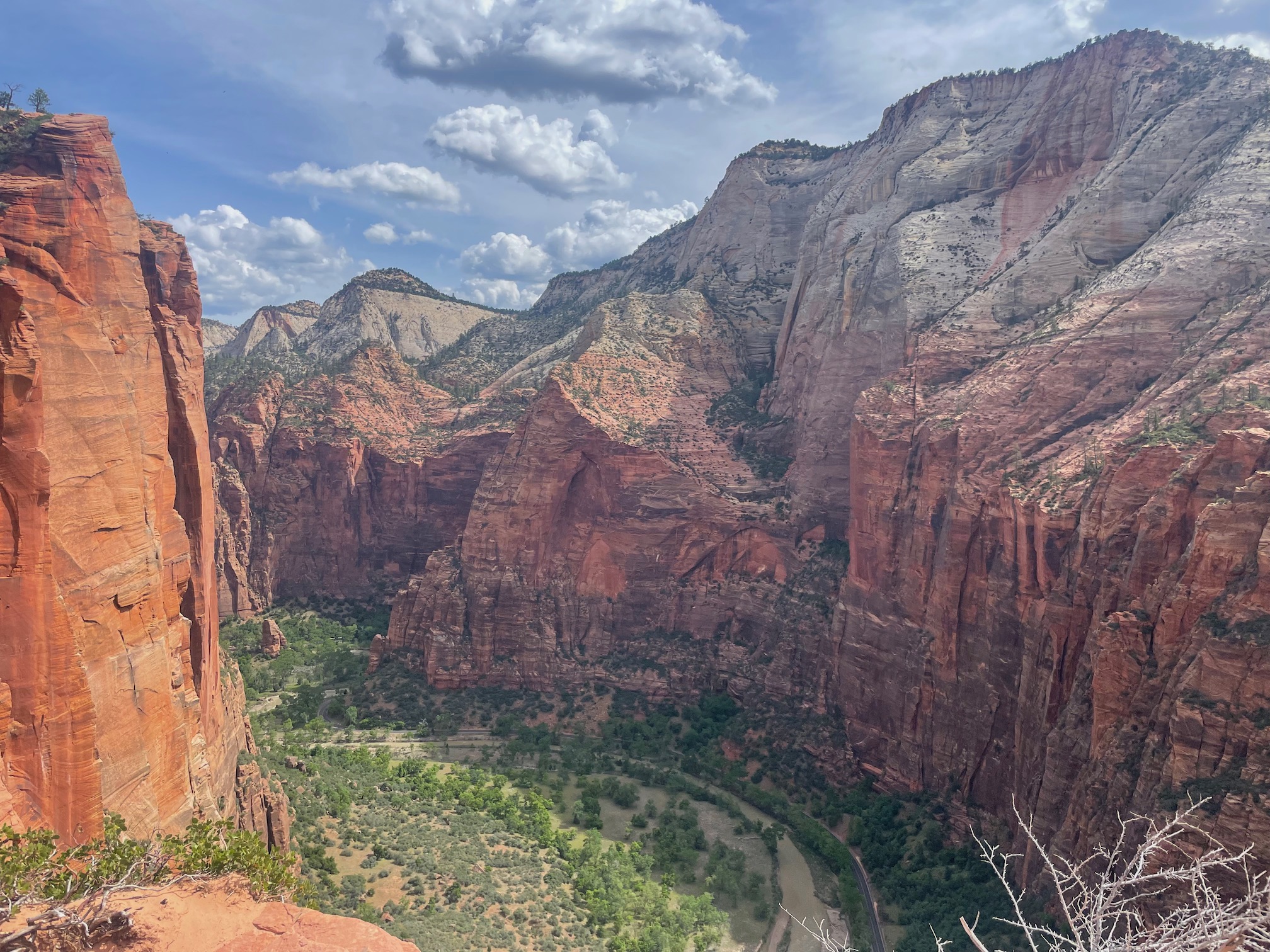
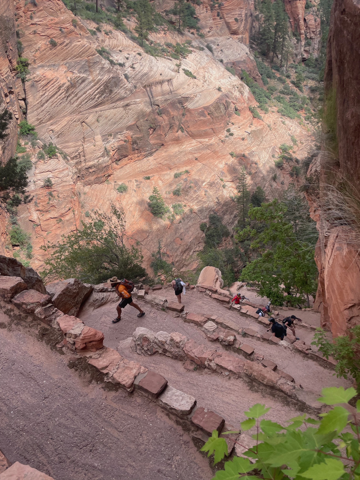
The hike is a bit of a "choose your own adventure" and you can (and should) hike a bit further beyond the actual Angel's Landing spur to explore the less crowded sections. We clocked in at about 8.9 miles, 3,669 ft of elevation, and 4 hours. Just doing Angel's Landing is about 4.3 miles, 1,827 ft, but its possible to extend it to as much as 15.5 miles, 4,396 ft in this loop . It's generally an uphill hike (except for one nice shaded canyon section) that's exposed, ft the infamous Walter's Wiggles. You get better and better views of the canyon (and its beautiful reds and white walls) as you ascend.
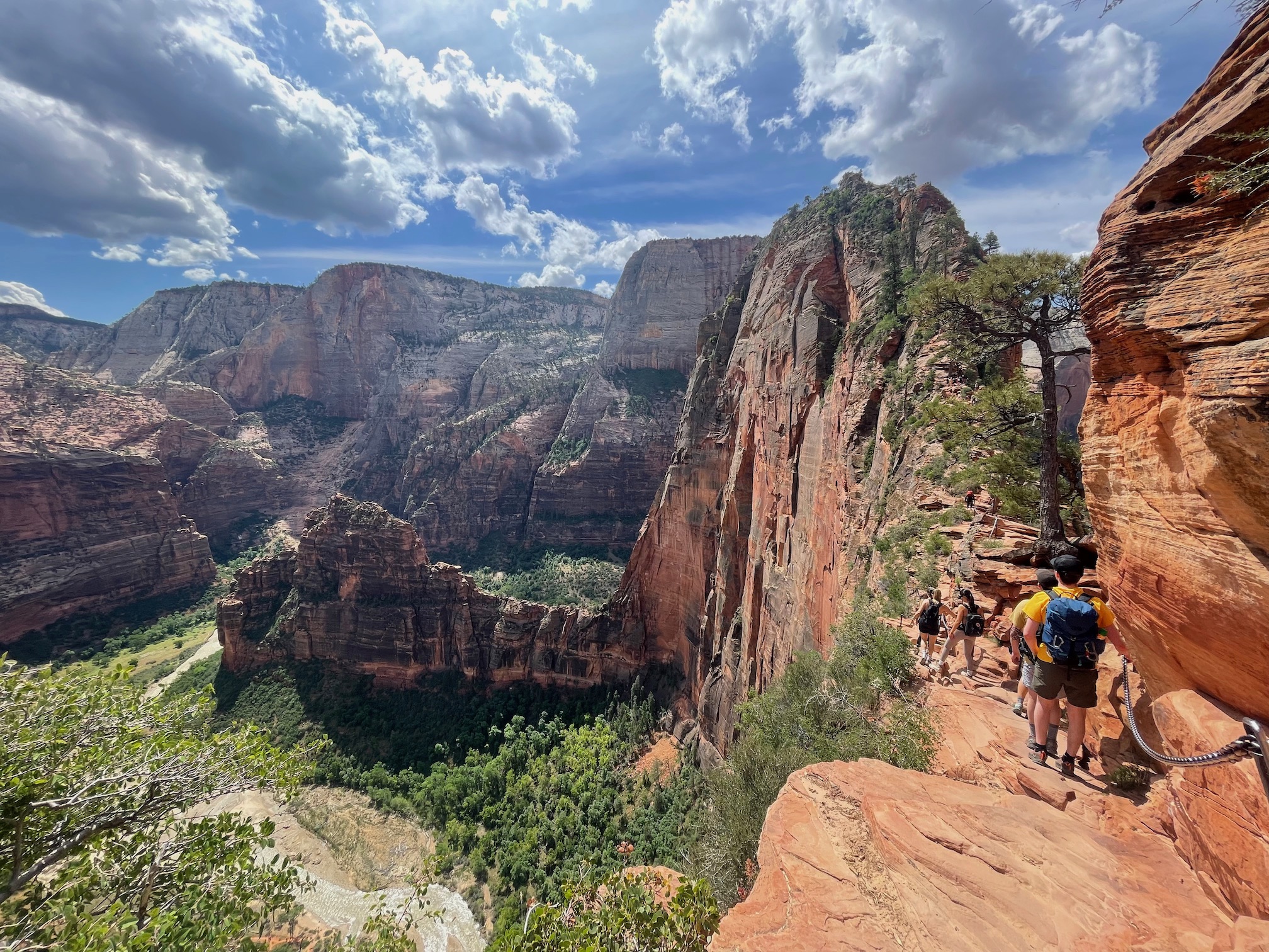
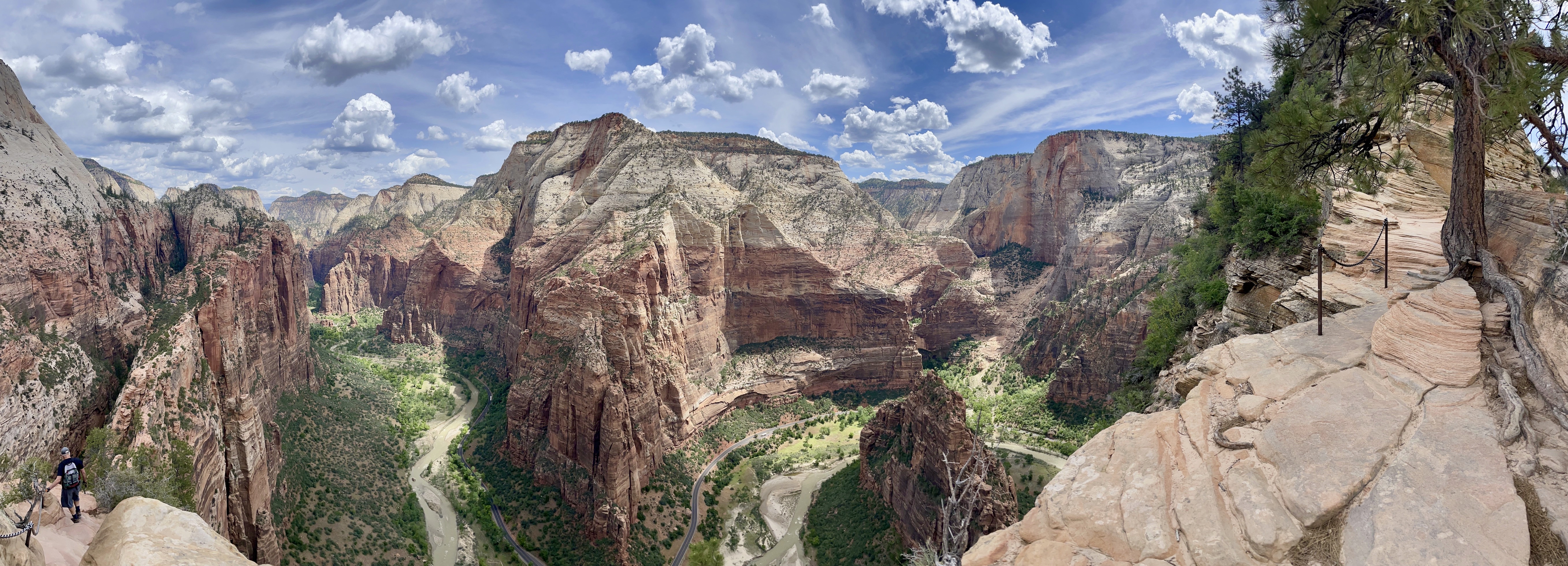
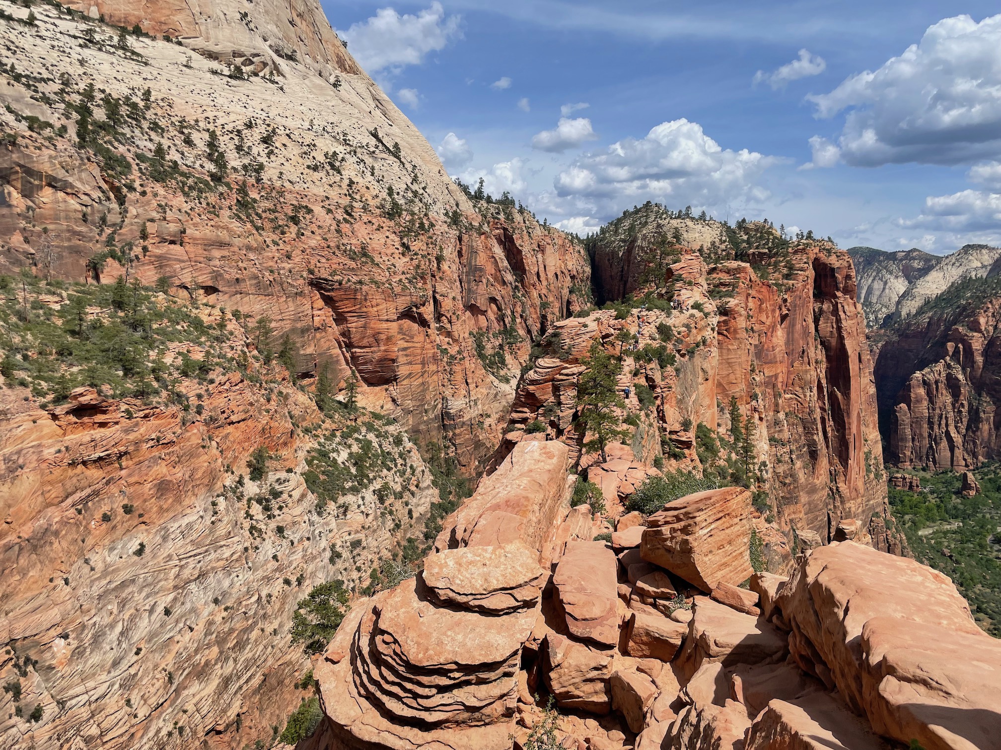
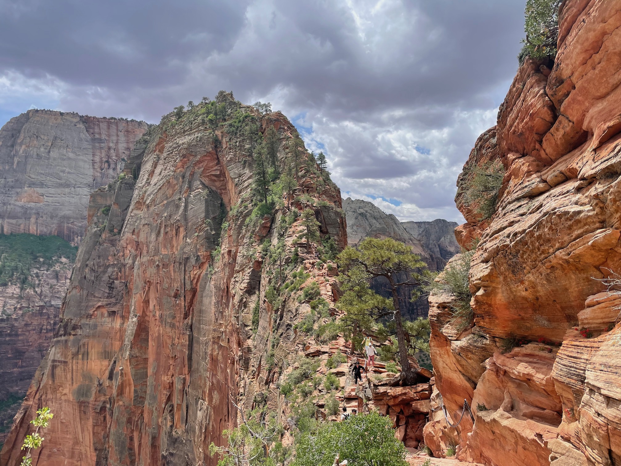
At Scout's Lookout (base of Angel's Landing) is where they check permits. You do need to show some form of identification to ensure the permit holder is actually who they say they are. From there, we headed up. This is where you can see why a permit system is needed -- the hike itself I did not find dangerous per se (though I was plagued by the continuous fear of dropping my phone), but it does get narrow (one way) in sections with just a chain or your own footing to stop you from falling. If there was a horde of people backed up all in line, the hike gets much more scary.
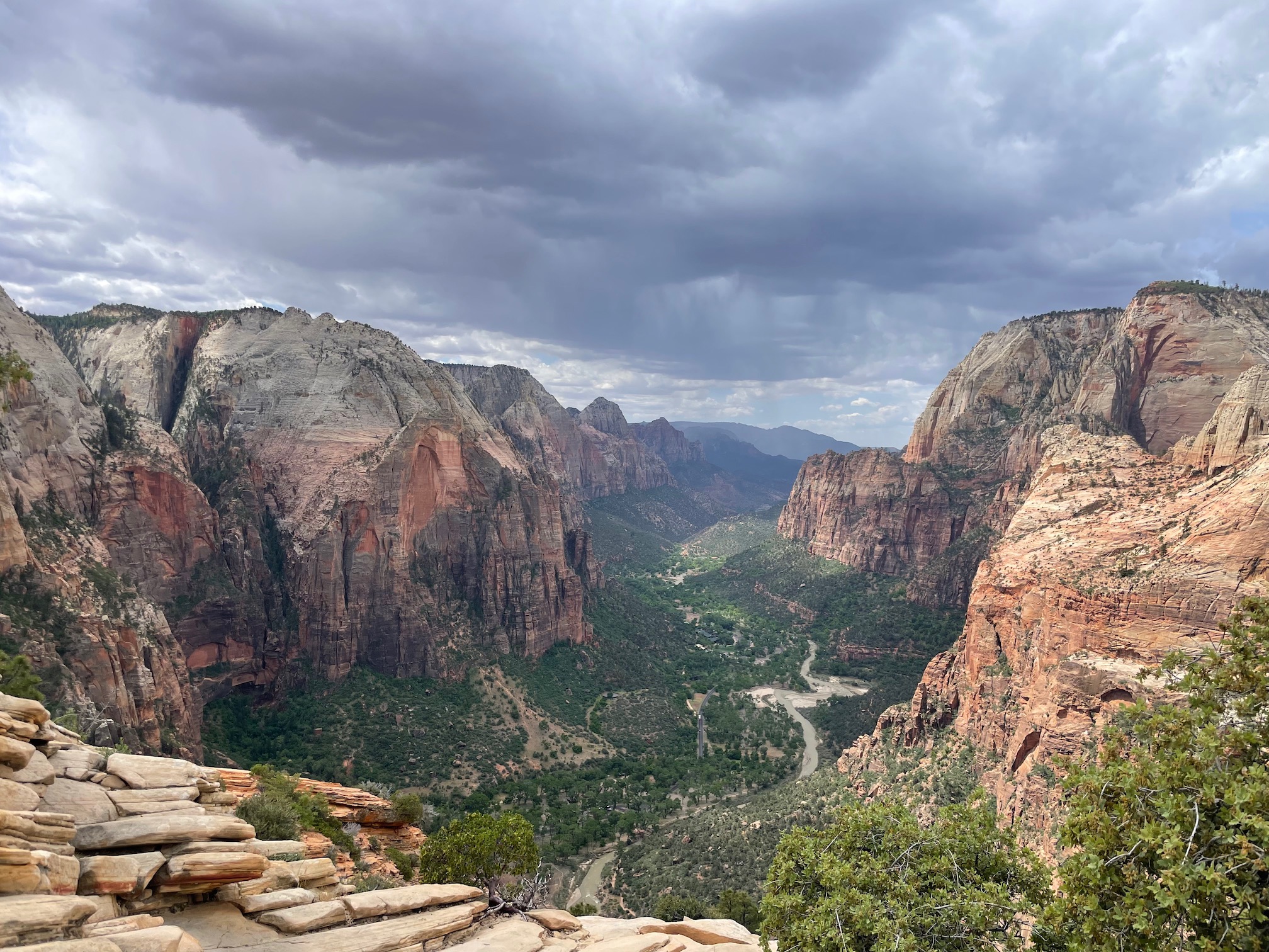
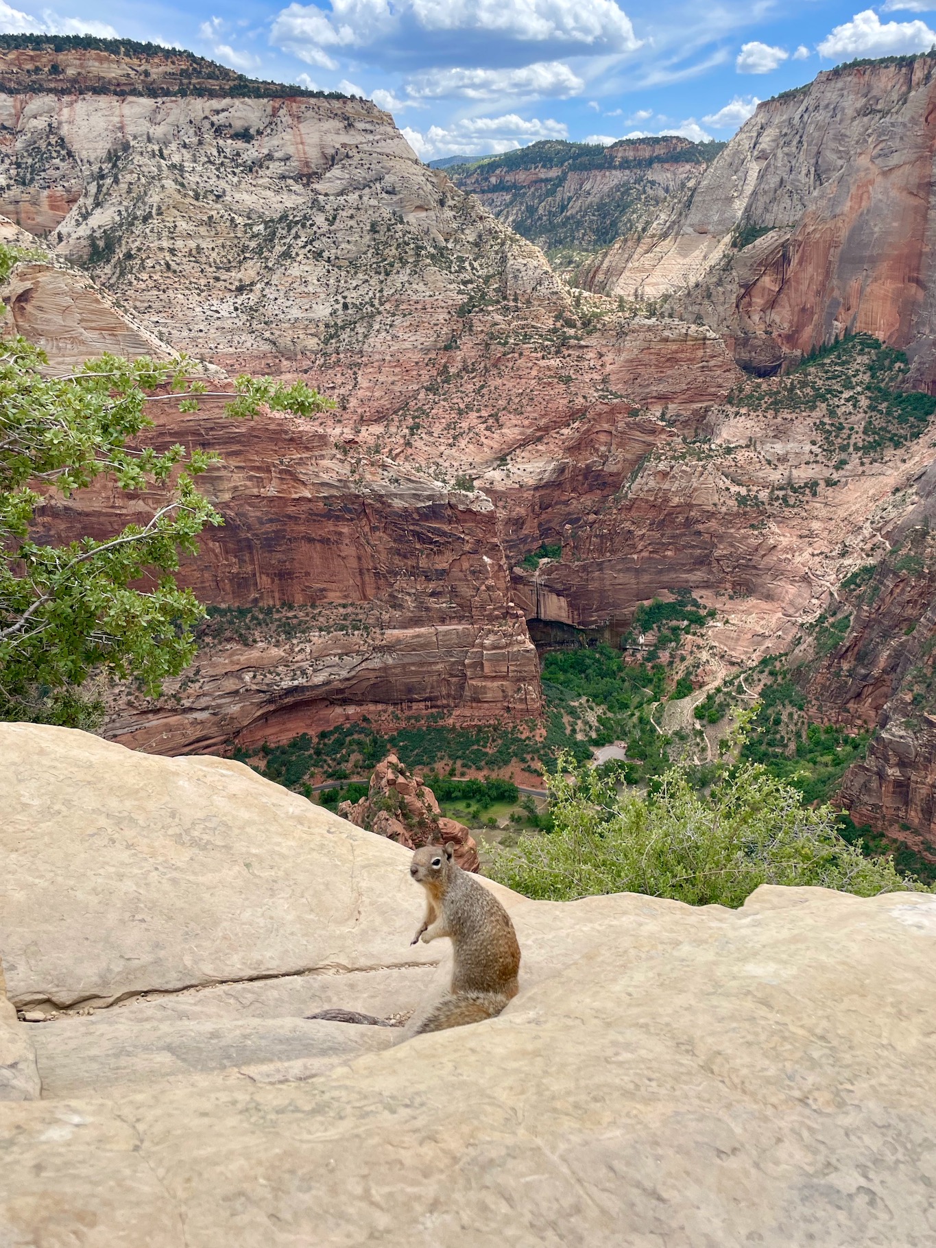
There's a pretty good reason why Angel's Landing is consistently rated as one of the top hikes in the US. While I'm not sure it reached that top 3 tier for me (I'm partial to alpine/glacier hikes!), it was certainly memorable. You are literally thrust into the canyon as you hike along the spur. Honestly, it just kept going -- for some reason I thought the chain section was short, but it was a decent portion of the hike. At the top, there's a bit of a wider flat area that you can just rest and enjoy.
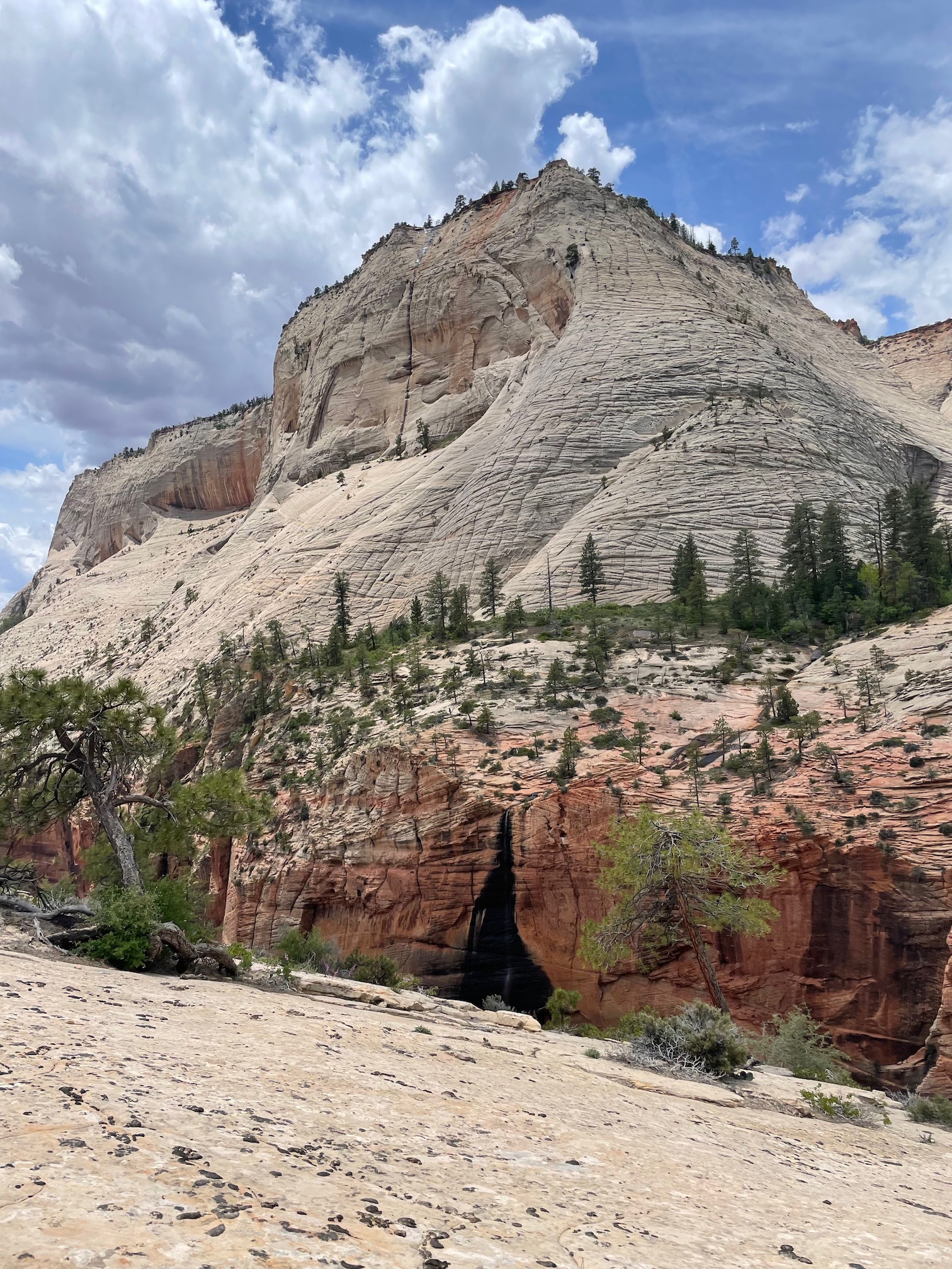
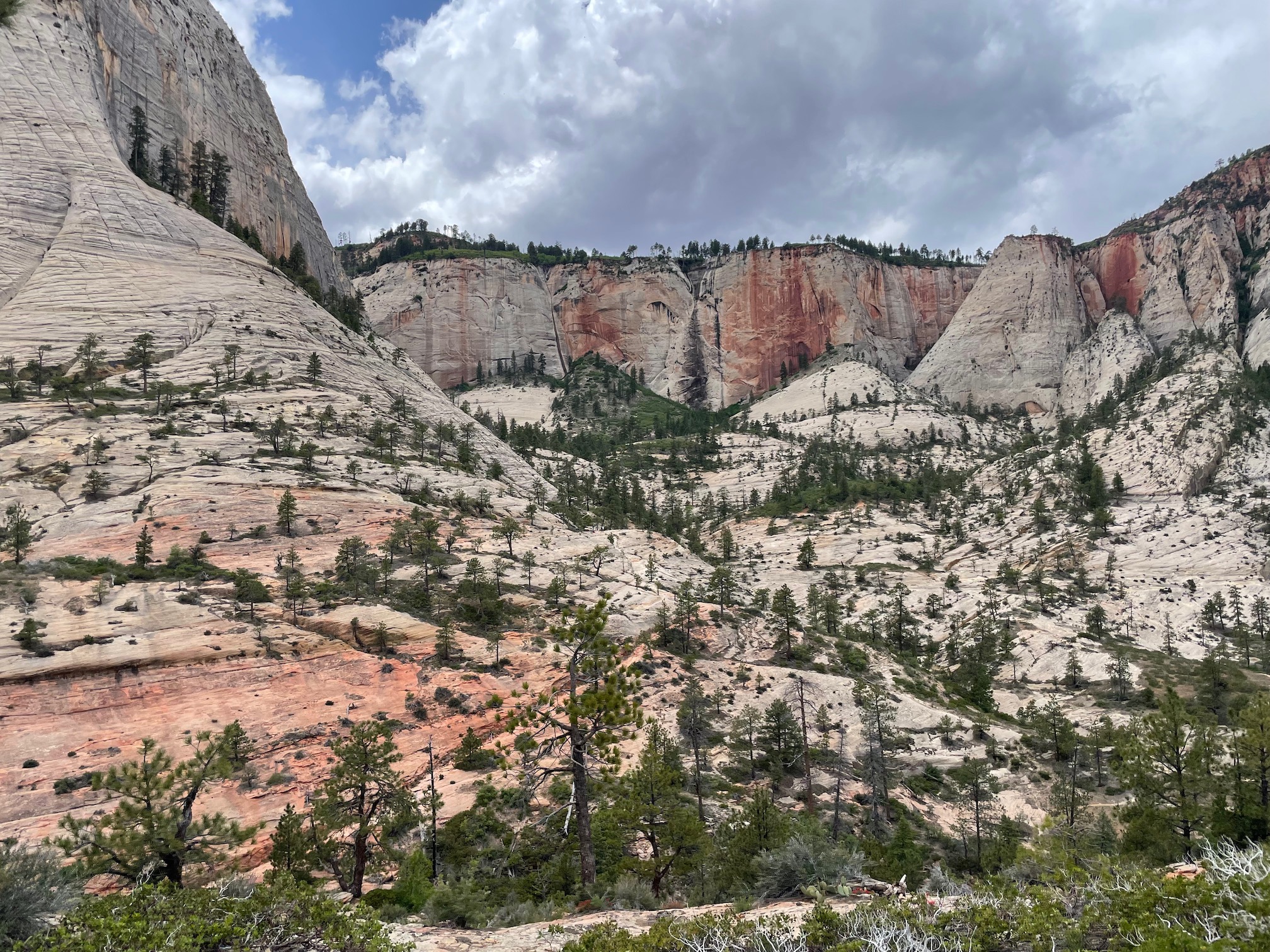
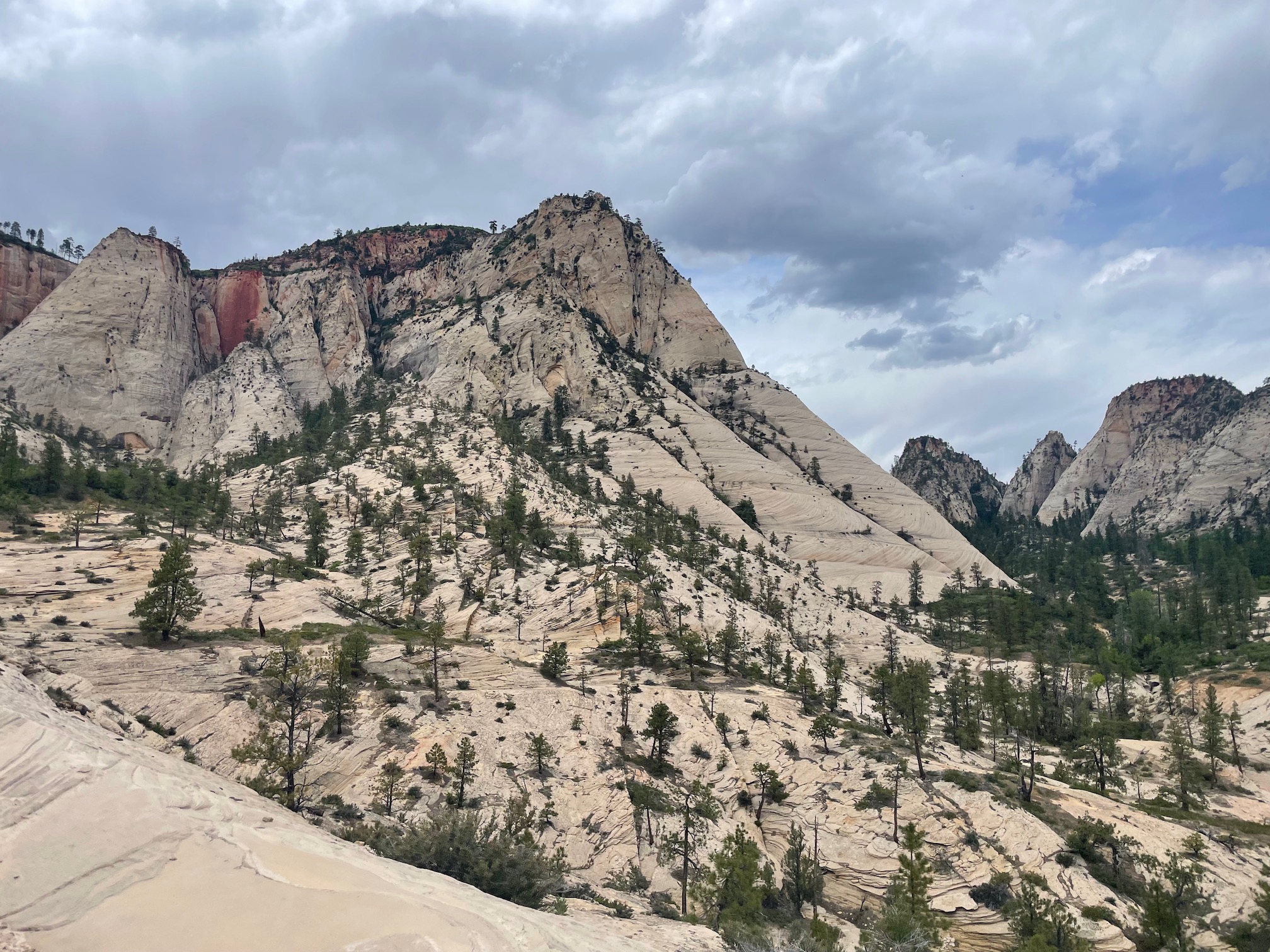
As mentioned, we trekked a bit further past Scout's Lookout, following the West Rim Trail. It got a ton quieter, which I appreciated, but the full mid day sun definitely made it hot as well. The views were different than those of the main canyon, with much more whites than reds (I'm sure a geologist would have much more interesting things to say here). Even if its just for a bit like us, I would highly recommend venturing out beyond the cut off to Angel's Landing!
After heading down, we caught the shuttle back to the visitor center and our car. Our last errand for the day was to rent the gear we needed for Subway the next day. Like the Narrows, the Subway is a trek in the river (not as high) so there are different options that can be rented (boots, boots + pants, full bib, etc) depending on the season and water level. We walked into Zion Adventures and picked up some canyoneering boots and a stick :)
Day 3: Subway
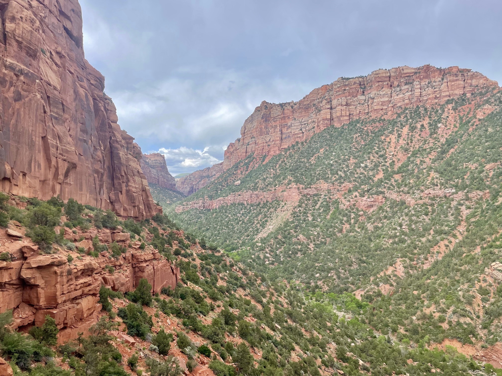
Here was another hike I was continuously afraid of dropping my phone! The path to the Subway, through the Left Fork Bottom Up route (top down is a canyoneering route), is technically not a marked trail which is why the permit type is a "wilderness" one. You quite literally, choose your own path. That being said, this is a pretty tame path finding experience since after the initial climb down into the canyon you just follow (or just walk in) the river until you hit the unmistakable Subway. It is still a good idea to have an offline map (e.g. Alltrails, Gaia, Google). The Modern Hiker provides a pretty good guide to the route.
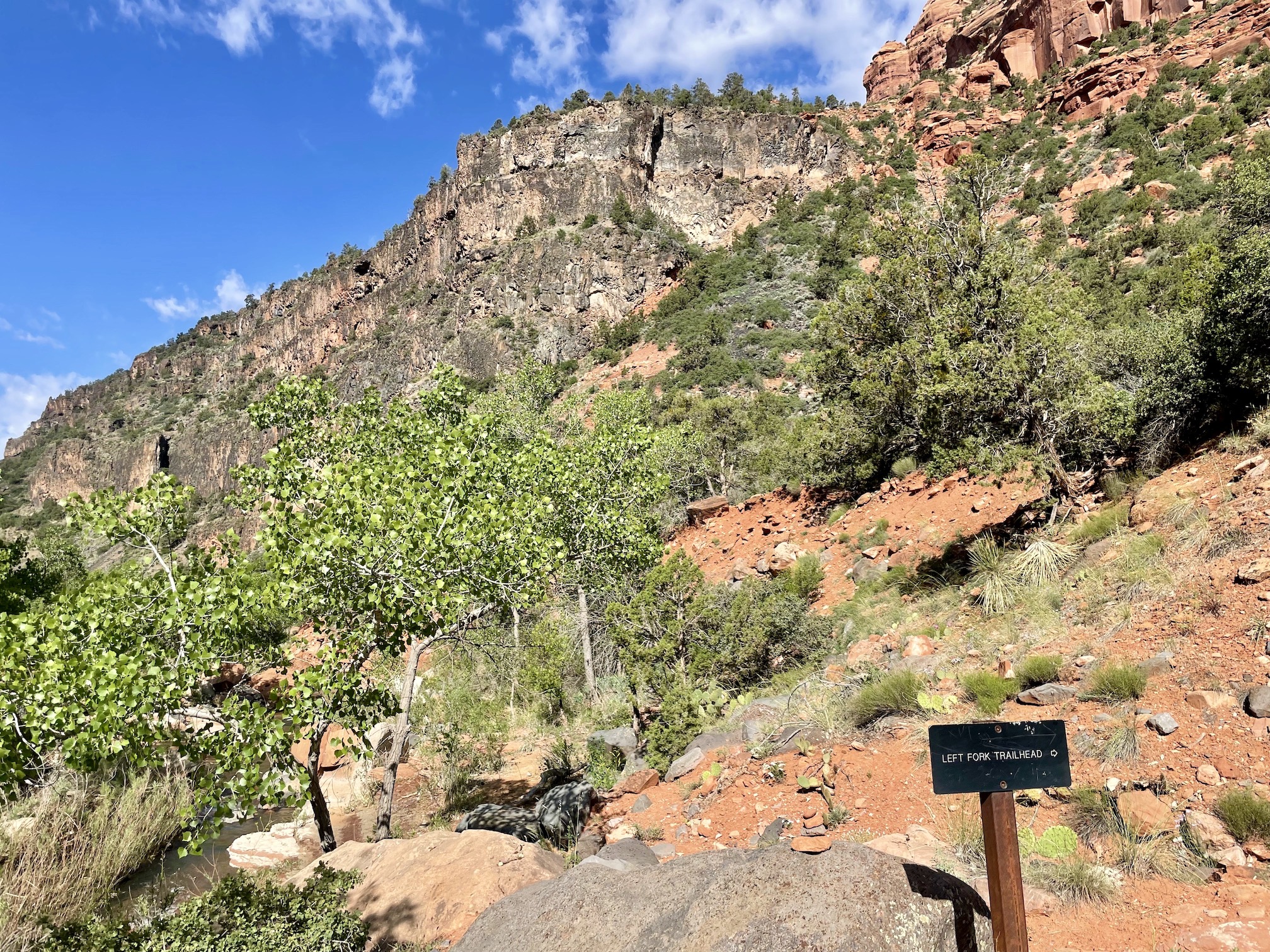
It was a 30 minute drive to the Left Fork Trailhead. Depending on how efficient your path is, this hike can be as quick as few hours or as long as a full day. Definitely budget a full day for this one though. Starting around 9 AM, we ended up with about 9.5 miles, 1,351 ft of elevation, and 5.5 hours to complete the hike. One warning we got a few times was the easiest place to get lost is being unable to find the path up the canyon when returning from the Subway. There's a small sign indicating the turnoff/trailhead, but the ranger advised to us to take photos and drop a GPS pin as well. After descending from the trailhead to the rocky canyon, all you have to do is follow the river upstream!
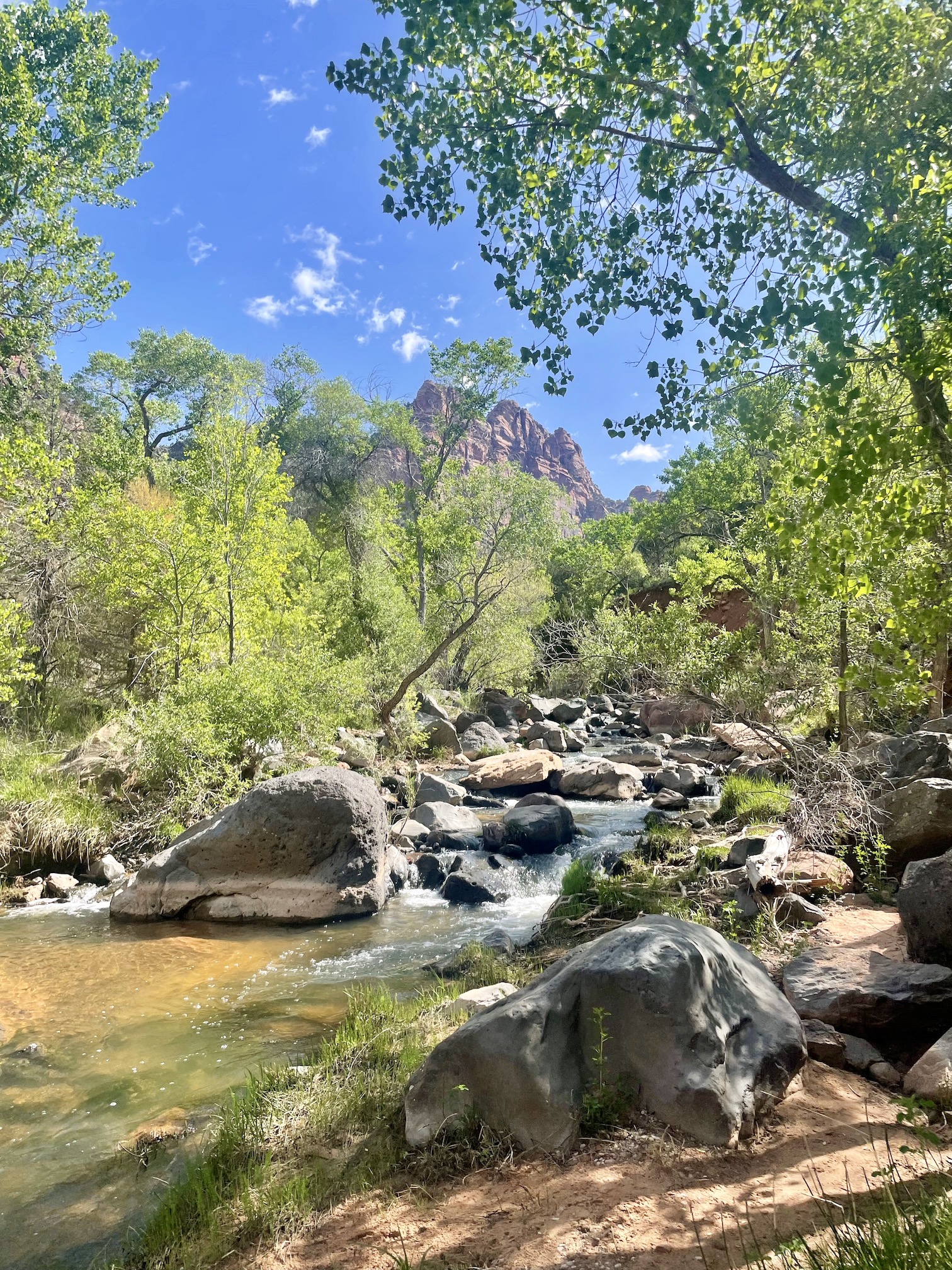
Much of the route is largely doing your best to follow the river. You'll head along one side of the river until you hit an impasse, cross the river to the other side, and repeat -- there are quite a few "social" trails. Initially we were trying to avoid getting wet, but toward the end we just were tramping through the water when we had to (our return was much faster than the going). While you can do this in your own hiking boots, I was glad to rent the canyoneering boots so my own shoes wouldn't get wet. The river levels were about ankle height at max and not too cold/strong, but some of the rocks could be slippery (the few times the stick came into use).
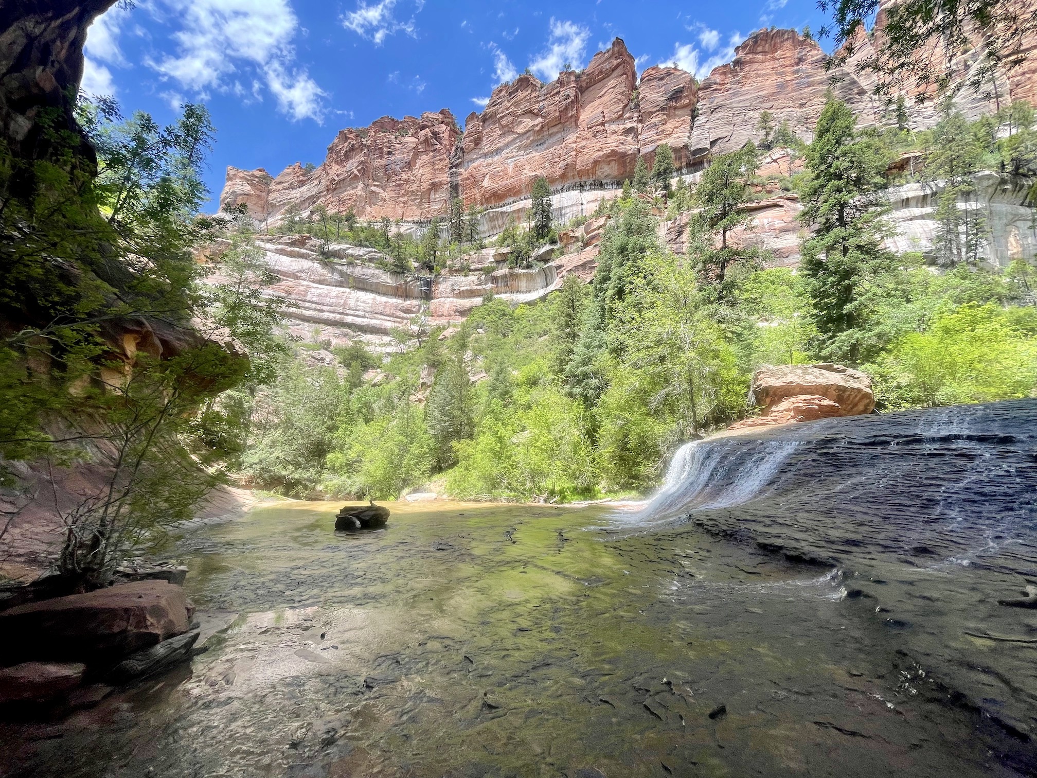
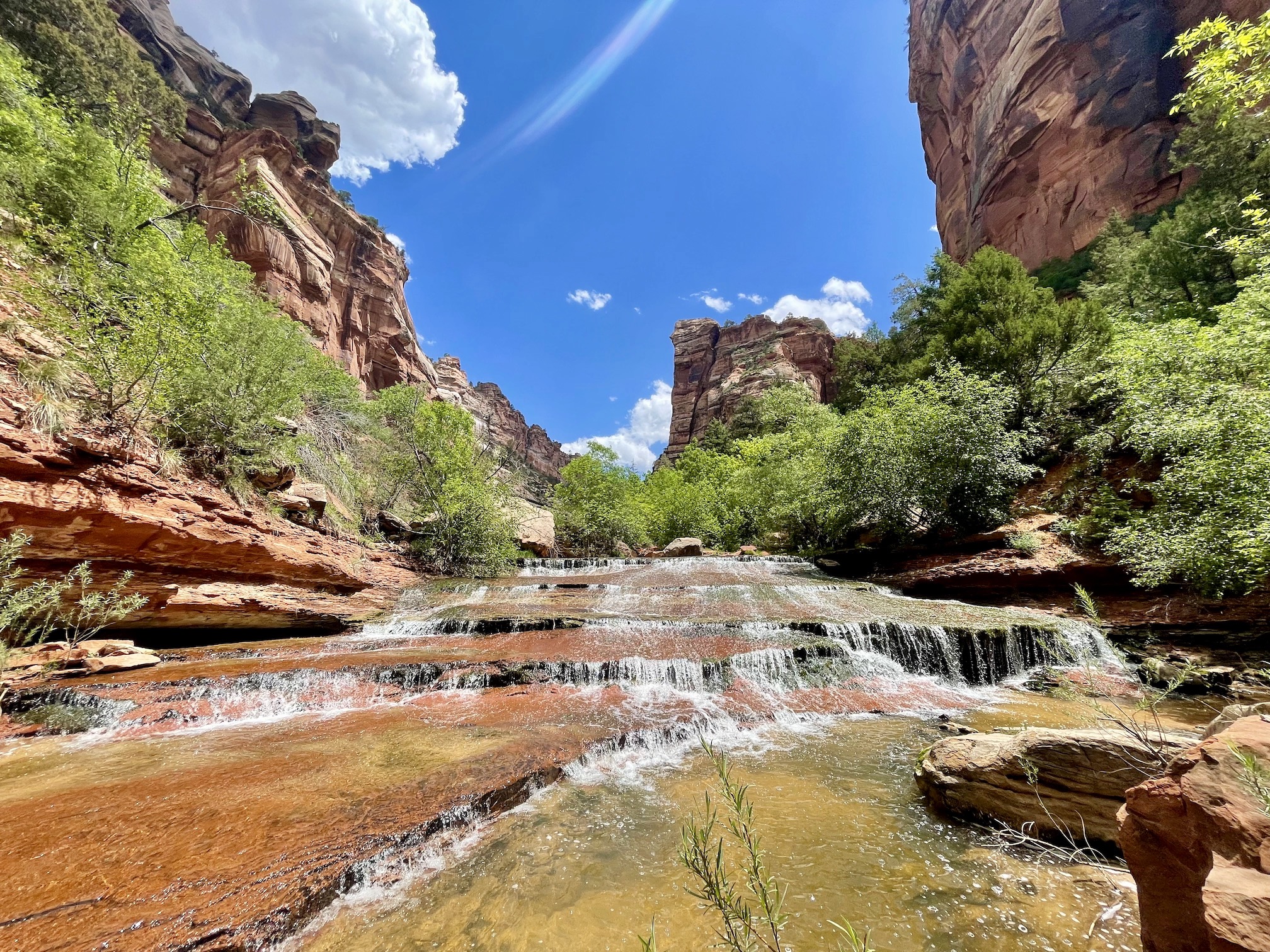
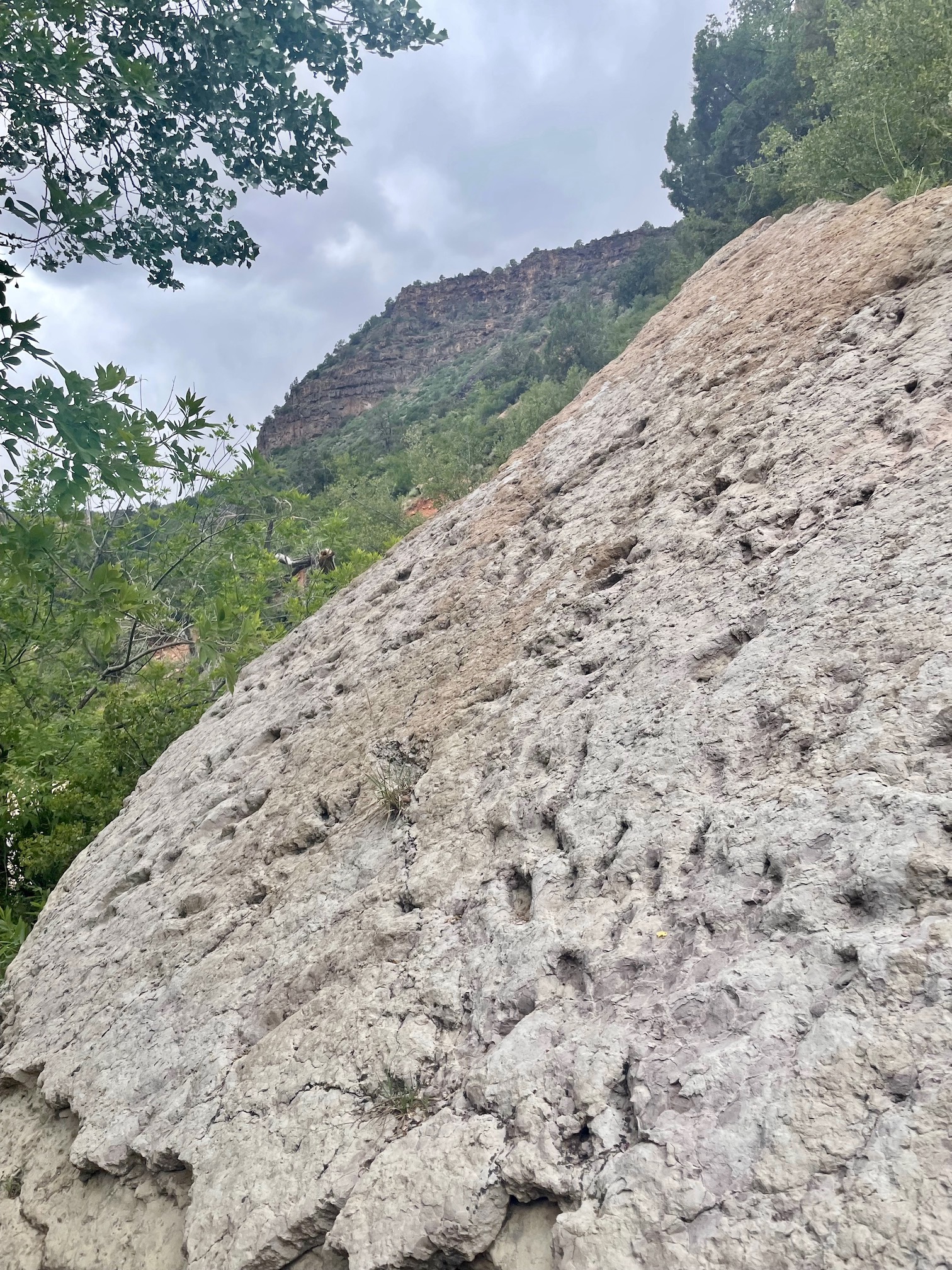
In terms of "things to look out for", at about ~2.3 miles in on the left side, there are some dinosaur tracks on white-ish rock. Closer to 3-4 miles in, before getting to the Subway proper, you will reach two waterfalls -- a step/terraced one you walk up and larger one you walk to the side of. Both are signs you are getting close!
You won't mistake the Subway itself. The canyon walls begin to curve over you as you head toward the end of the trail, creating a dramatic and stunning overhang. The subway, well, looks like a subway tunnel. Due to the relatively high level of the water and flow, the green pools weren't really visible and we couldn't see to the bottom of them. We carefully walked to the end, where the slot canyon really begins, and while I had can swim a bit past the end into the slot canyon during this time of year the water was too high. This was certaintly one of the hikes where the end view certainly makes the journey.
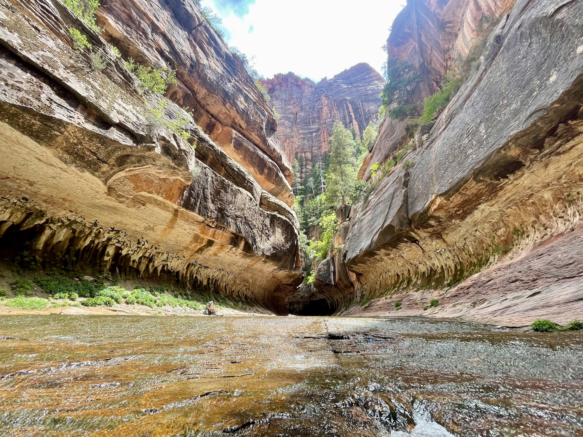
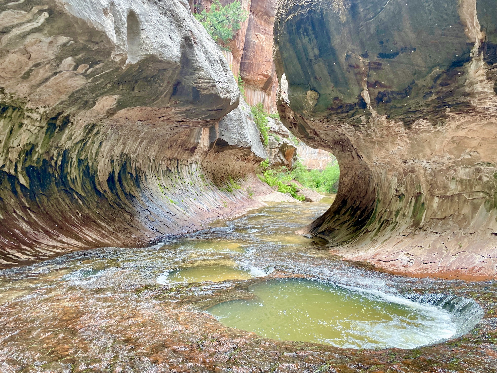
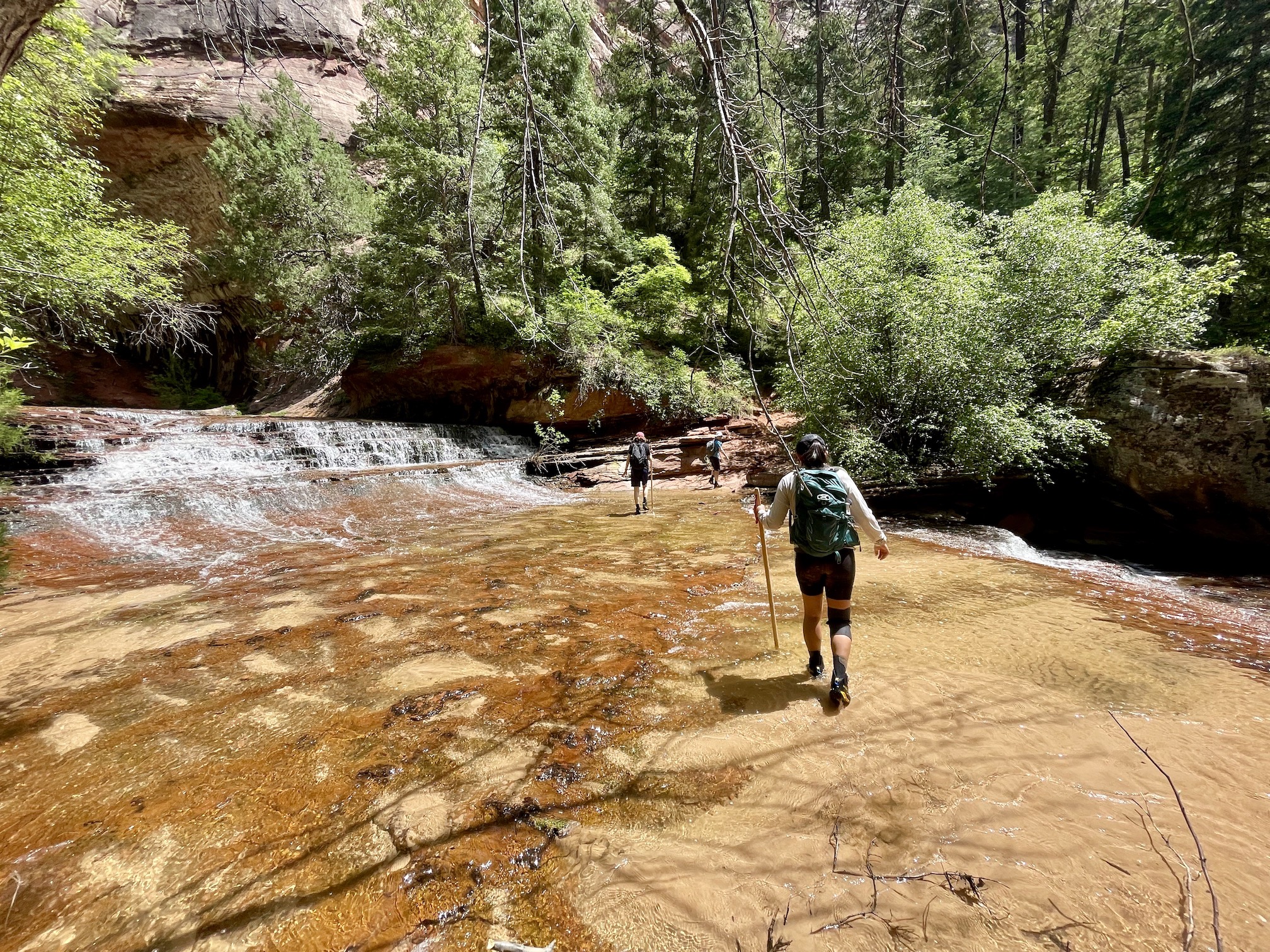
We stopped and rested a bit before making our way back to the trailhead -- retracing our steps and following the Virgin River back to the marked signpost. We found the turnoff out of the canyon fine but we thought the path up the canyon wasn't as clear (at some points it felt we were just randomly scrambling up). Eventually though, we made it back to our car.
Day 4: Bryce Canyon National Park
Utah's National Parks are often combined into one epic road trip, which I would highly recommend if you have the time. Unfortunately, we didn't so we stuck mostly to Zion. However, we were able to fit in a day trip to Bryce National Park, about a 1.5 hour drive away. It also served as a bit of rest day after two relatively long hikes. We headed out around 8:30-9 AM. While we were a bit apprehensive on traffic and parking, it ended up being pretty smooth even though it was Memorial Day. The drive to Bryce itself is also quite scenic, and a bit unintentionally, we drove two different ways there and back as you will see from the pictures later on!
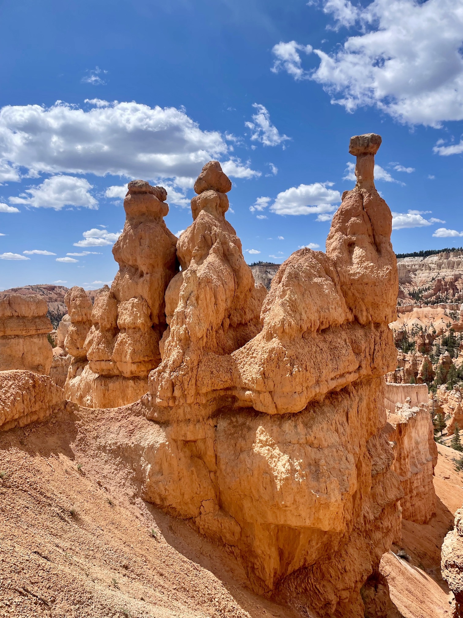
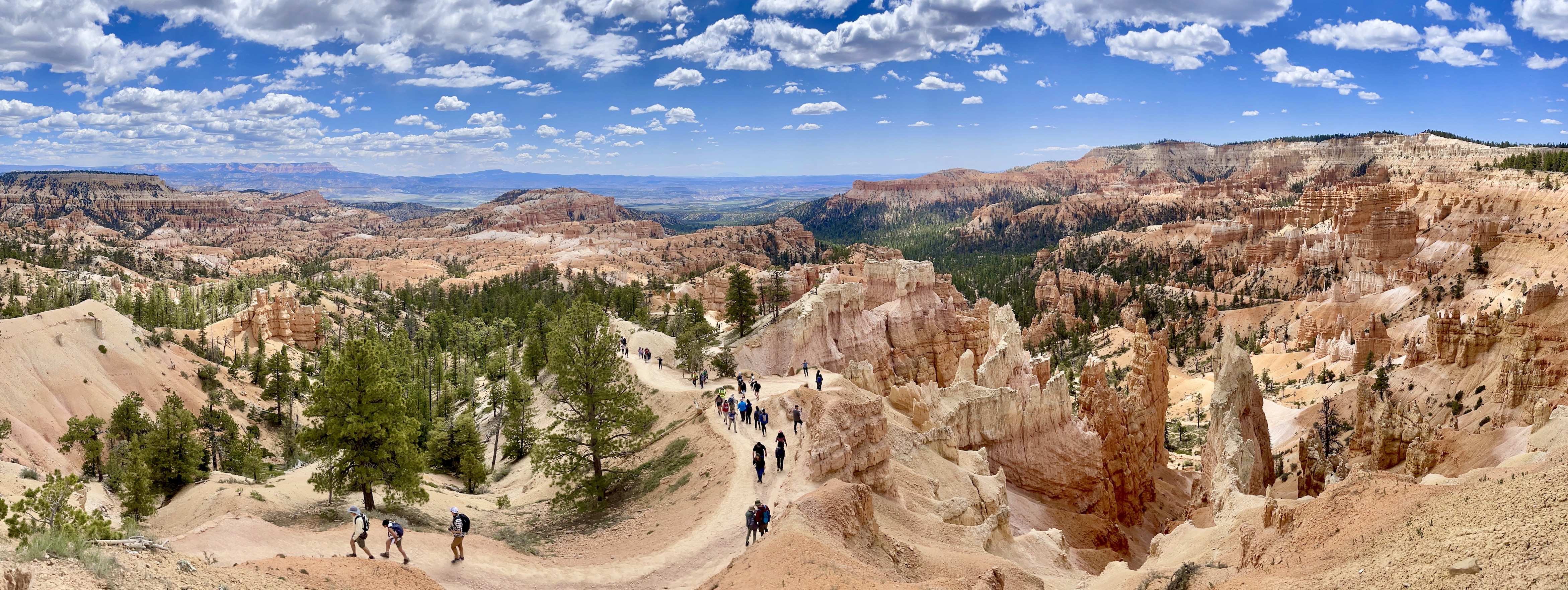
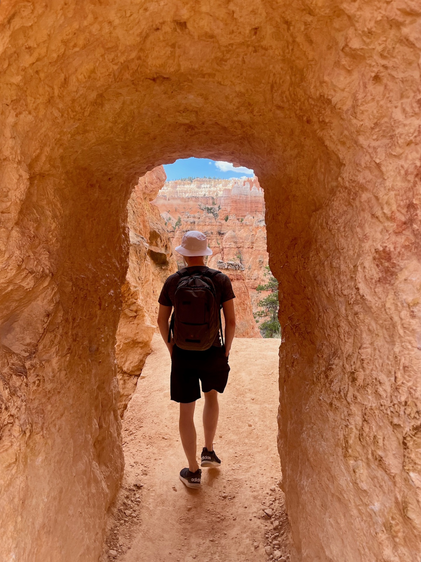
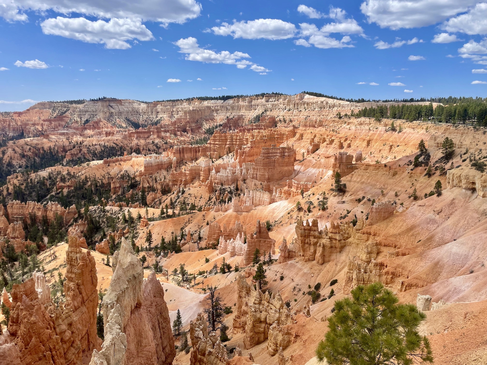
The standout star by far of Bryce are the hoodoos. You don't have go far from the parking lot to see an epic panorama of them! Of course, we also had to go on a hike down into the canyon to see them a bit closer. The trail we chose for the day was the Figure Eight Trail", which is actually a combination of a few trails -- namely we started at Sunrise Point, headed toward/on Queen’s Garden/Navajo, switched to Peekaboo, and finished at Sunset Point.
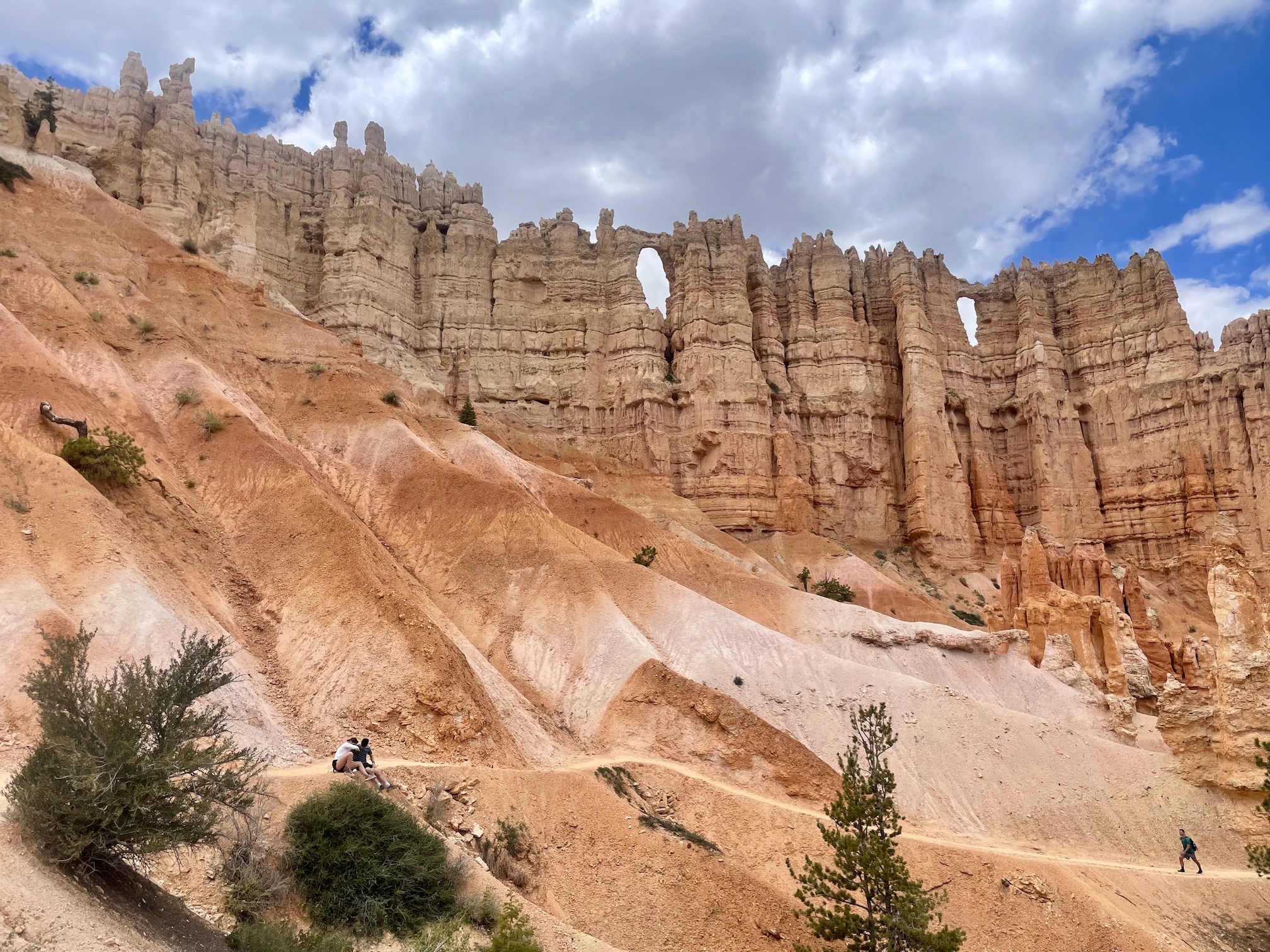
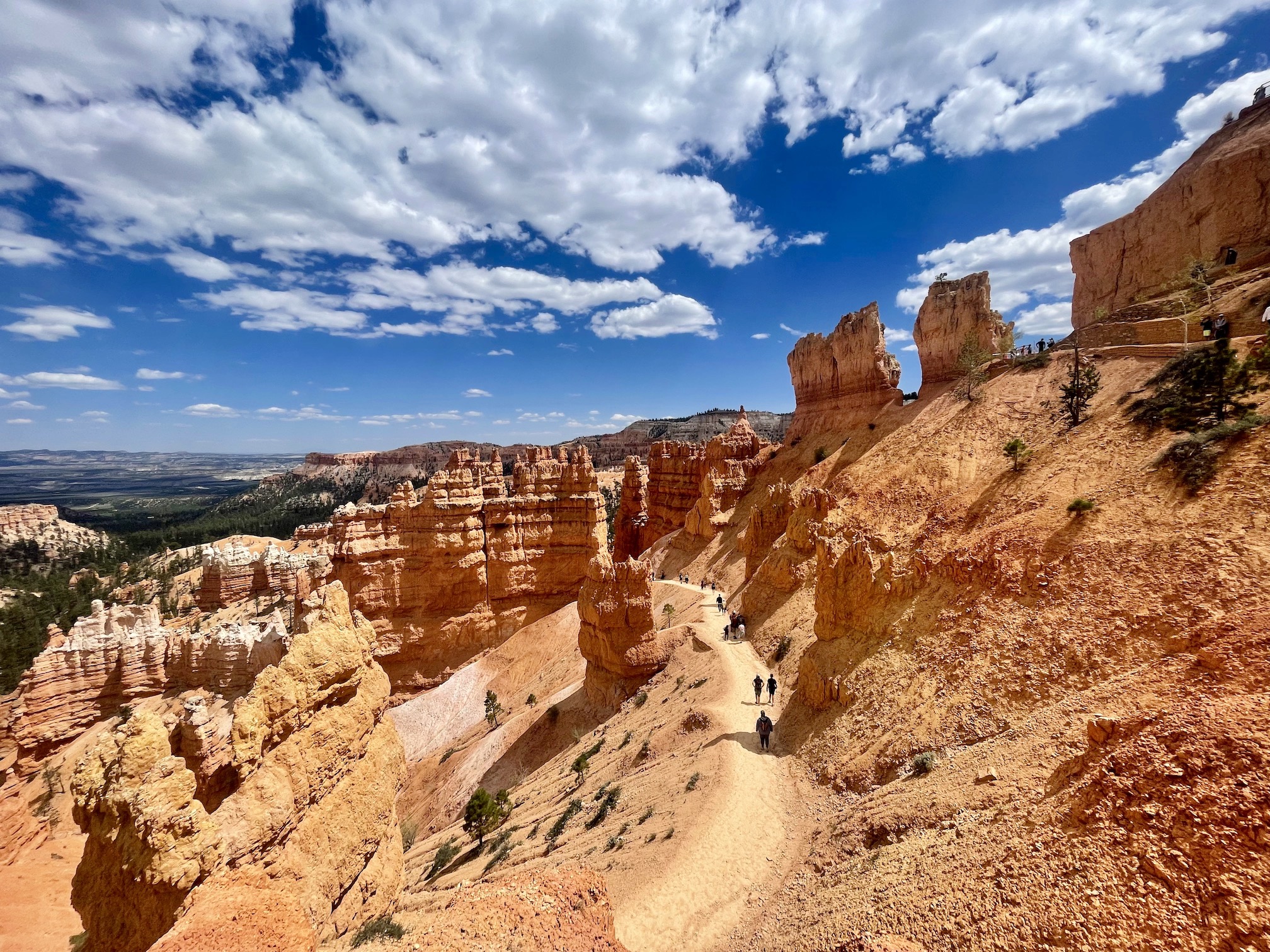
You can start at either Sunrise or Sunset Point, but we found parking at Sunrise -- regardless, the two connect pretty easily. This hike clocked in for us at about 7 miles, 1,966 ft of elevation, and 3 hours. While you start at the viewpoints above the canyon, you quickly descend further into the hoodoos and while the first loop of the Figure 8 is a bit crowded, the trail thins out significantly once you hit the Peakaboo section. The one downside is the Peakaboo trail is also a horse trail so it is nicknamed sometimes as Peakapoo :). Nevertheless, we quite enjoyed the quieter back section of the trail and there are some beautiful formations, the pictures giving you a sense of their size.
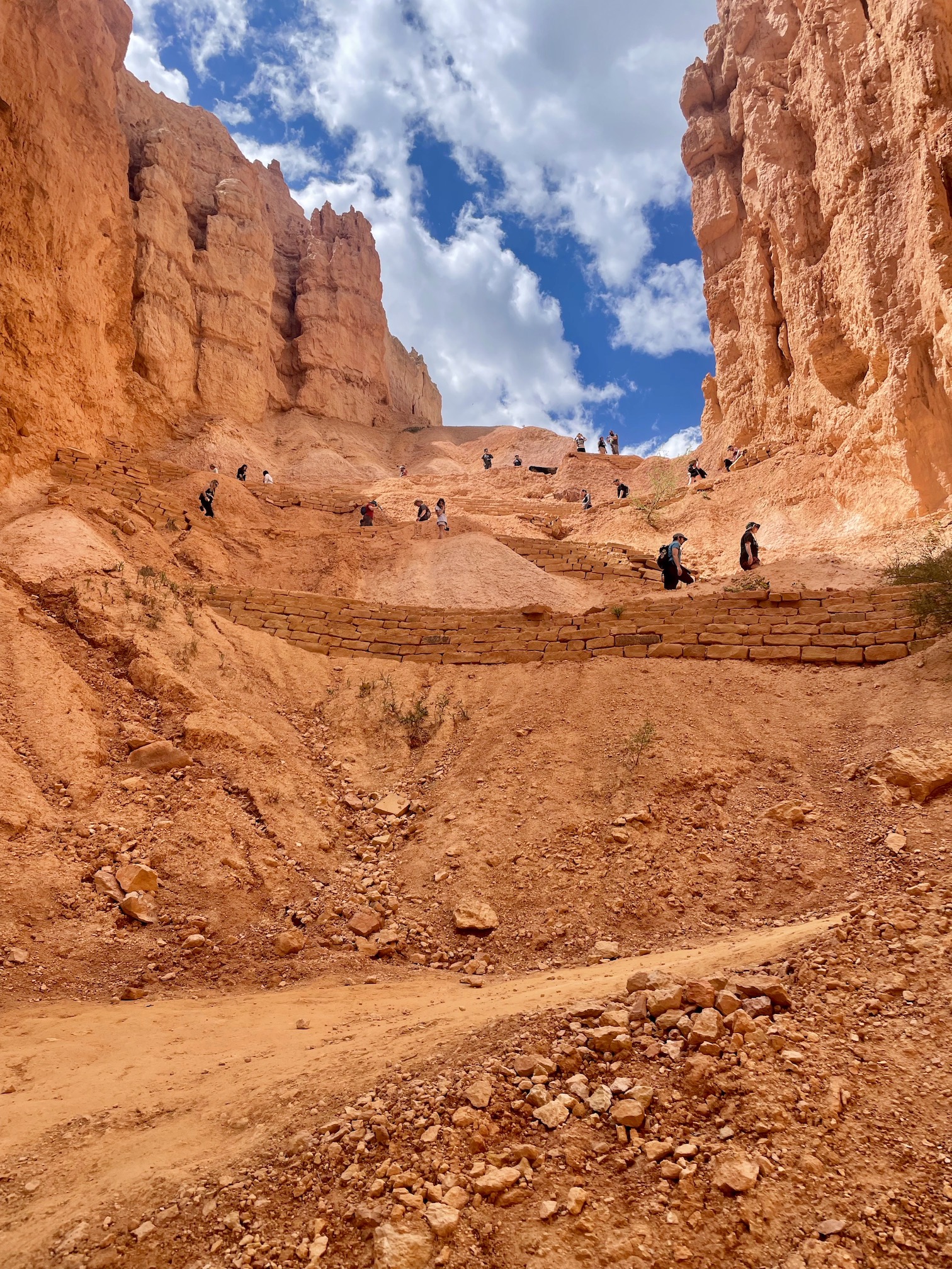
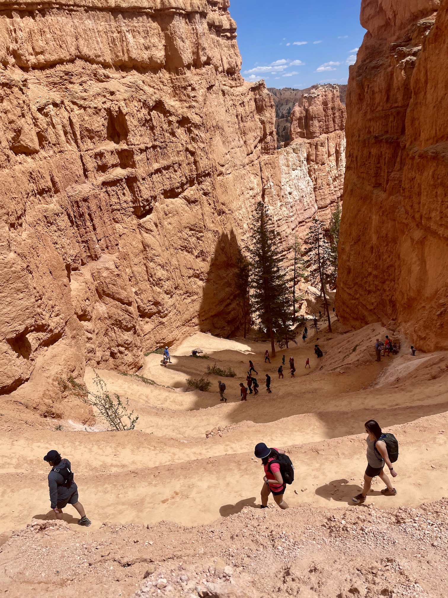
One thing to note is that Bryce Canyon is at significantly higher elevation than you might expect, averaging about 8000 ft. This means snow can linger later into the season, but also that temperatures are cooler than say Zion. This was great for me at least, as Zion was actually a little too warm, but Bryce was perfect for hiking. However, it is something to keep in mind as you plan out your trip. The path to Wall Street was closed during our trip (check out the Current Conditions on the official NPS website), but there was a well marked detour around. While the hike was definitely less strenuous than Angel's Landing or Subway, there definitely were still some switchbacks!
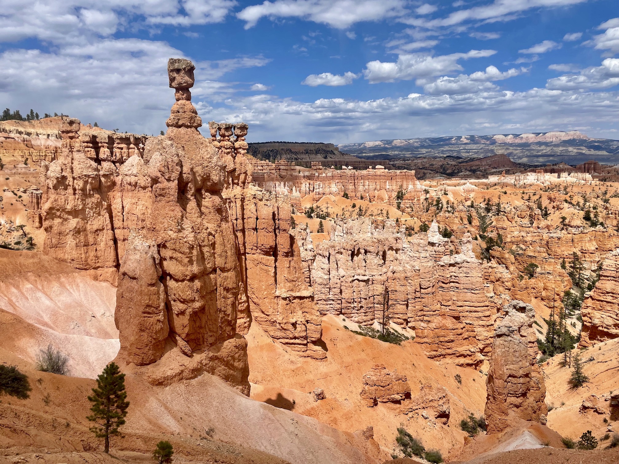
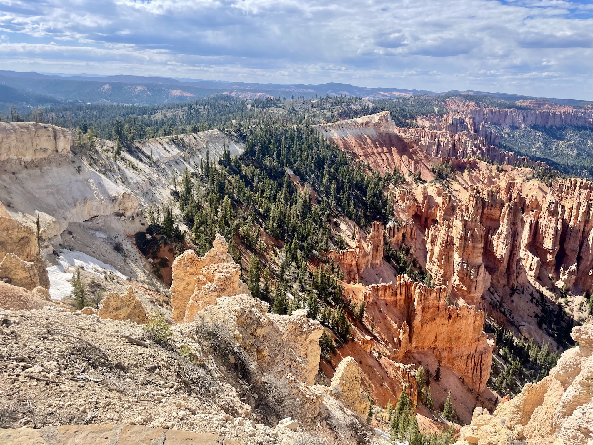
Finishing up the hike, we passed by Thor's Hammer, one of the iconic hoodoos in the park. One nice thing about this hike is there are a few variations you can do depending on your interest -- while we did the full figure 8, you could also do only sections or just watch from the parking lot! After the hike, we took off in the car on a bit of a scenic drive. It is easiest to hit the viewpoints on the way "back", as they are largely on the right side and so it is easier to park. Rainbow Point is one of the highest viewpoints at Bryce and you could still see snow in some areas!
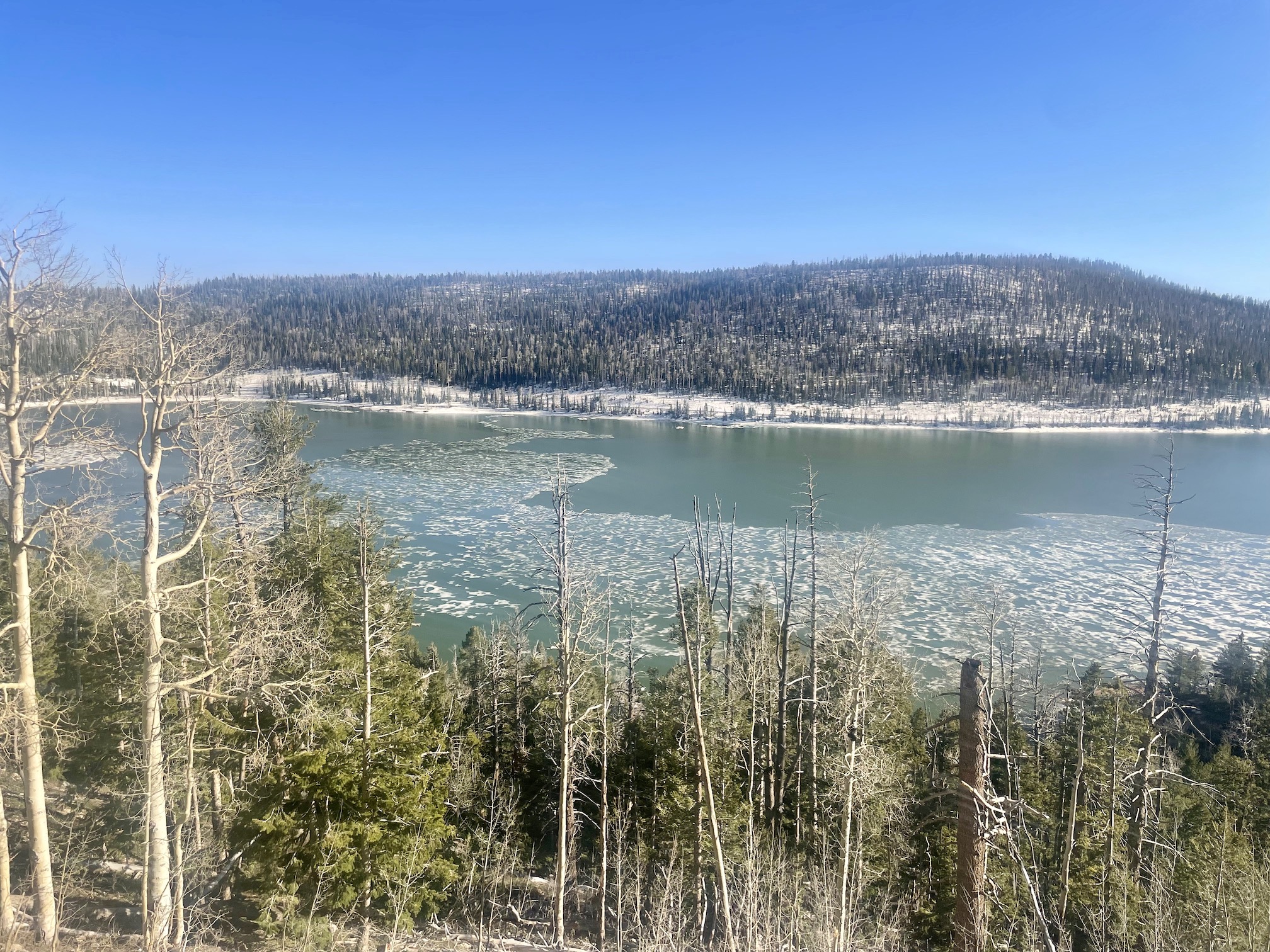
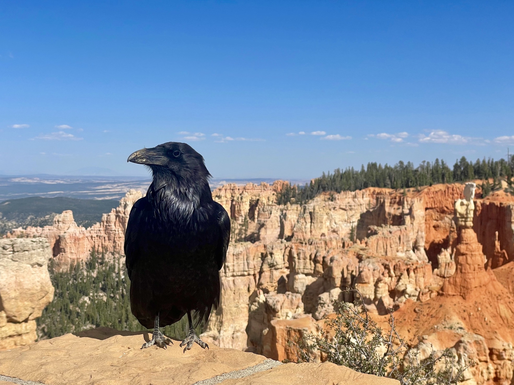
After being eyed at by a judgemental crow, we headed back toward our lodging. We ended up taking a different route back (I believe State Highway 14), heading over some mountains and (!!) seeing Navajo lake partially covered by ice, as well as more snow. It was a totally unexpected scene after seeing desert scenery and yellows and reds for the previous few days. The day trip to Bryce was a 100% worth it endeavor and the sights we saw emphasized the sheer diversity and uniqueness of Utah's wilderness.
Day 5: Observation Point & Narrows Riverside
On our drive back on the previous day, we discussed some further options for our last day in Zion. There were some smaller hikes we could do like Emerald Pools and Canyon Overlook, but we ended up choosing Observation Point via East Mesa for this day. The trailhead is actually is accessed from outside the park, as one of the original paths has been closed for some time from rockfall.
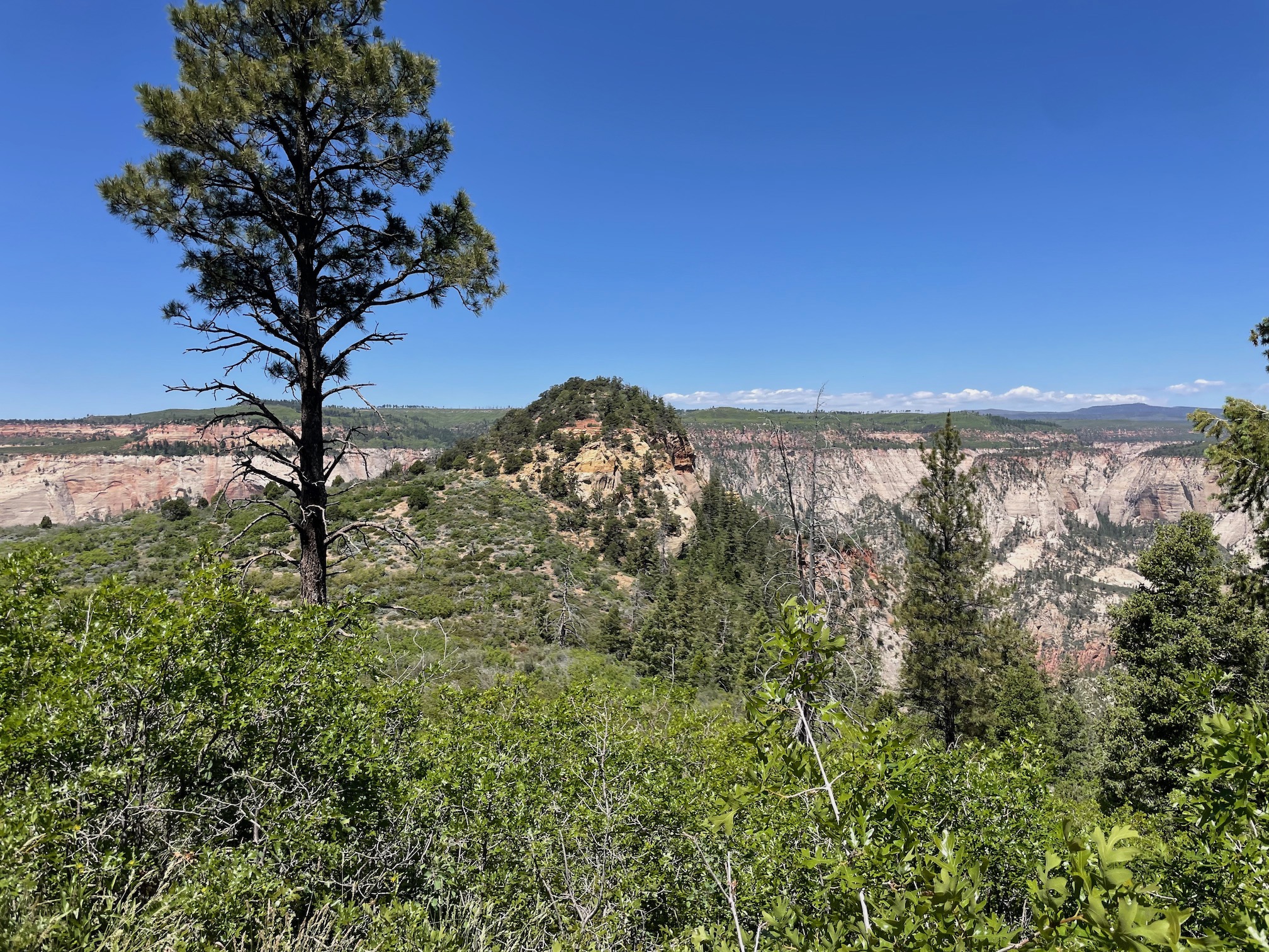
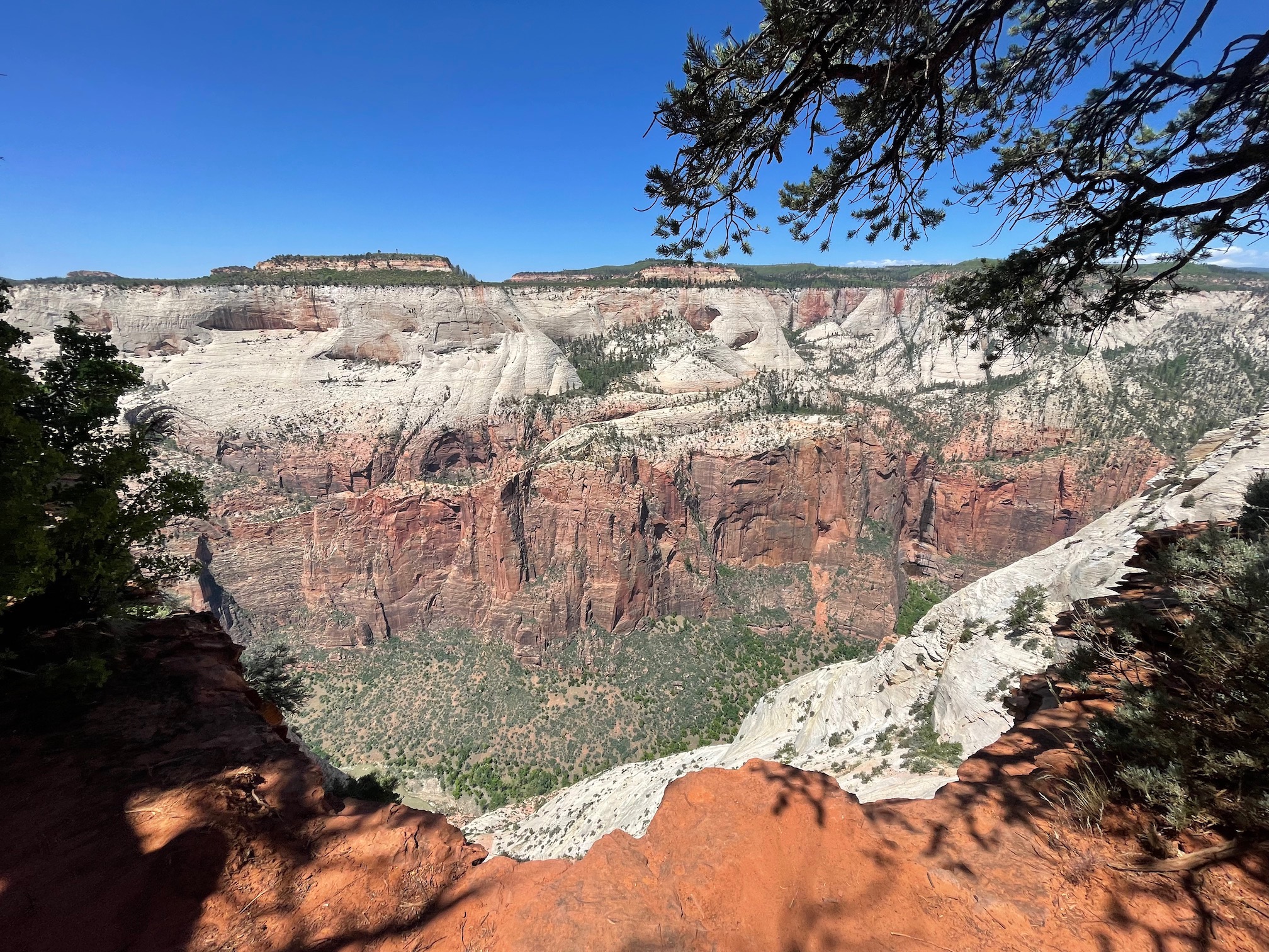
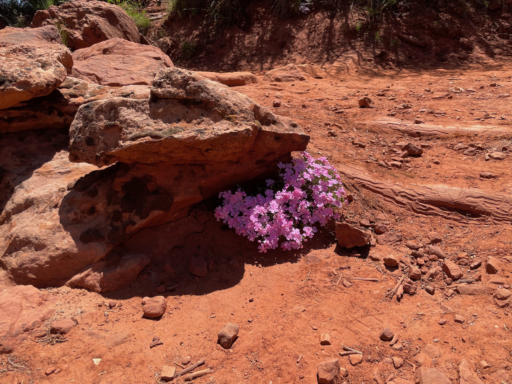
It is possible to drive to the trailhead yourself, through a bumpy but probably passable on a 2WD, dirt road. However, we didn't really want to risk it on our rental car and so took the shuttle in from Zion Ponderosa Ranch Resort, which had the added benefit of not having to deal with parking. We booked the shuttle the day before.
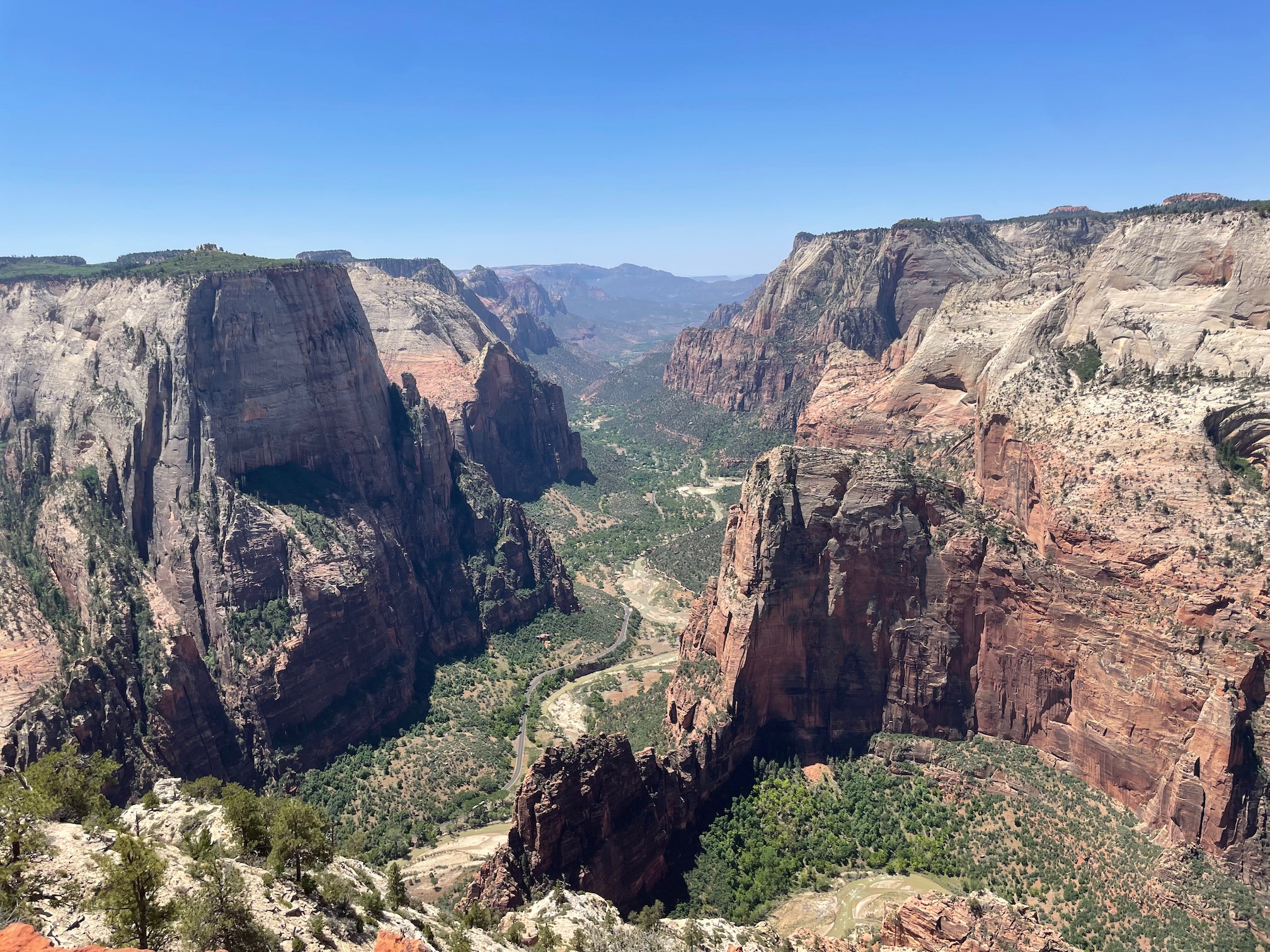
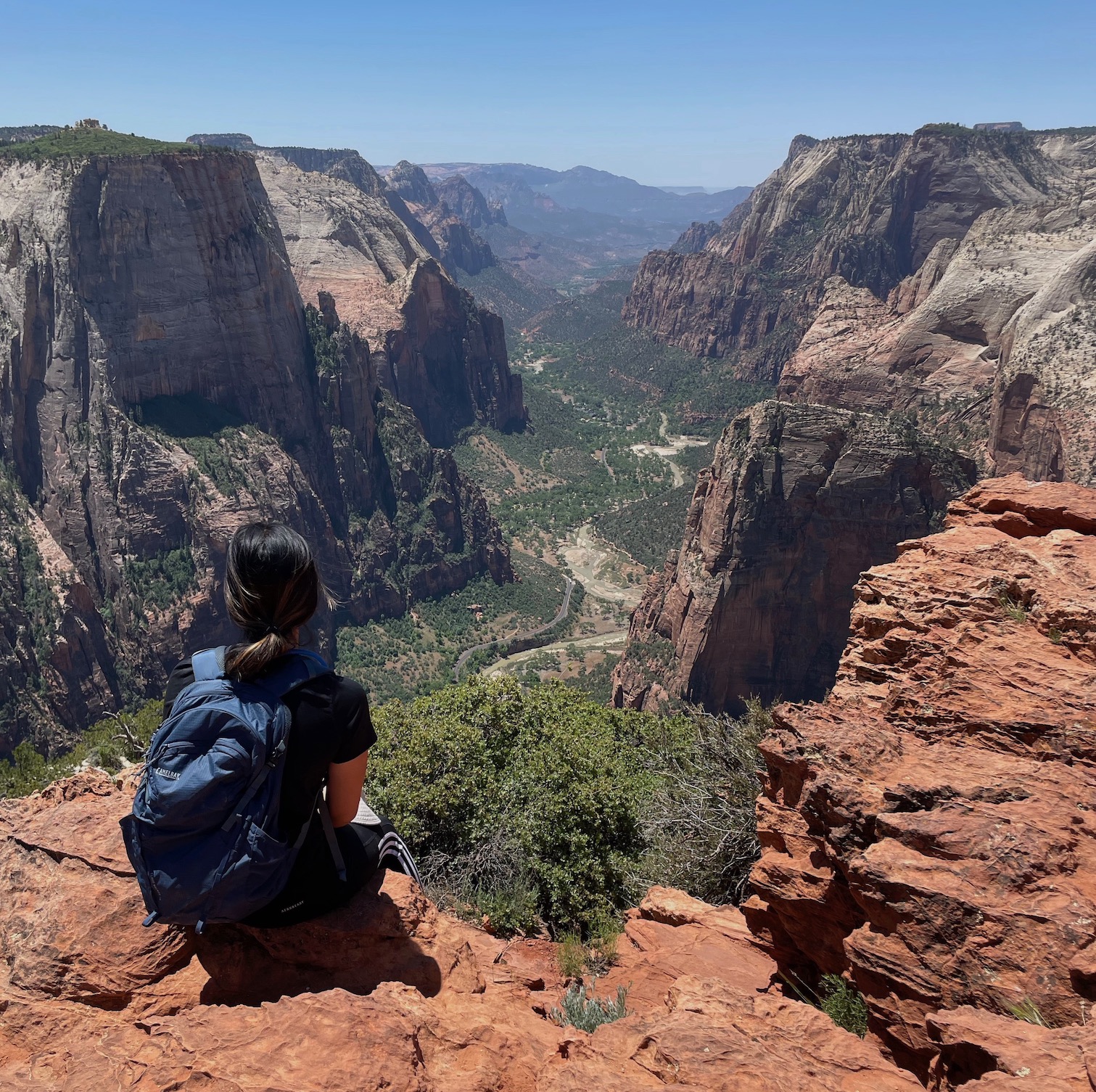
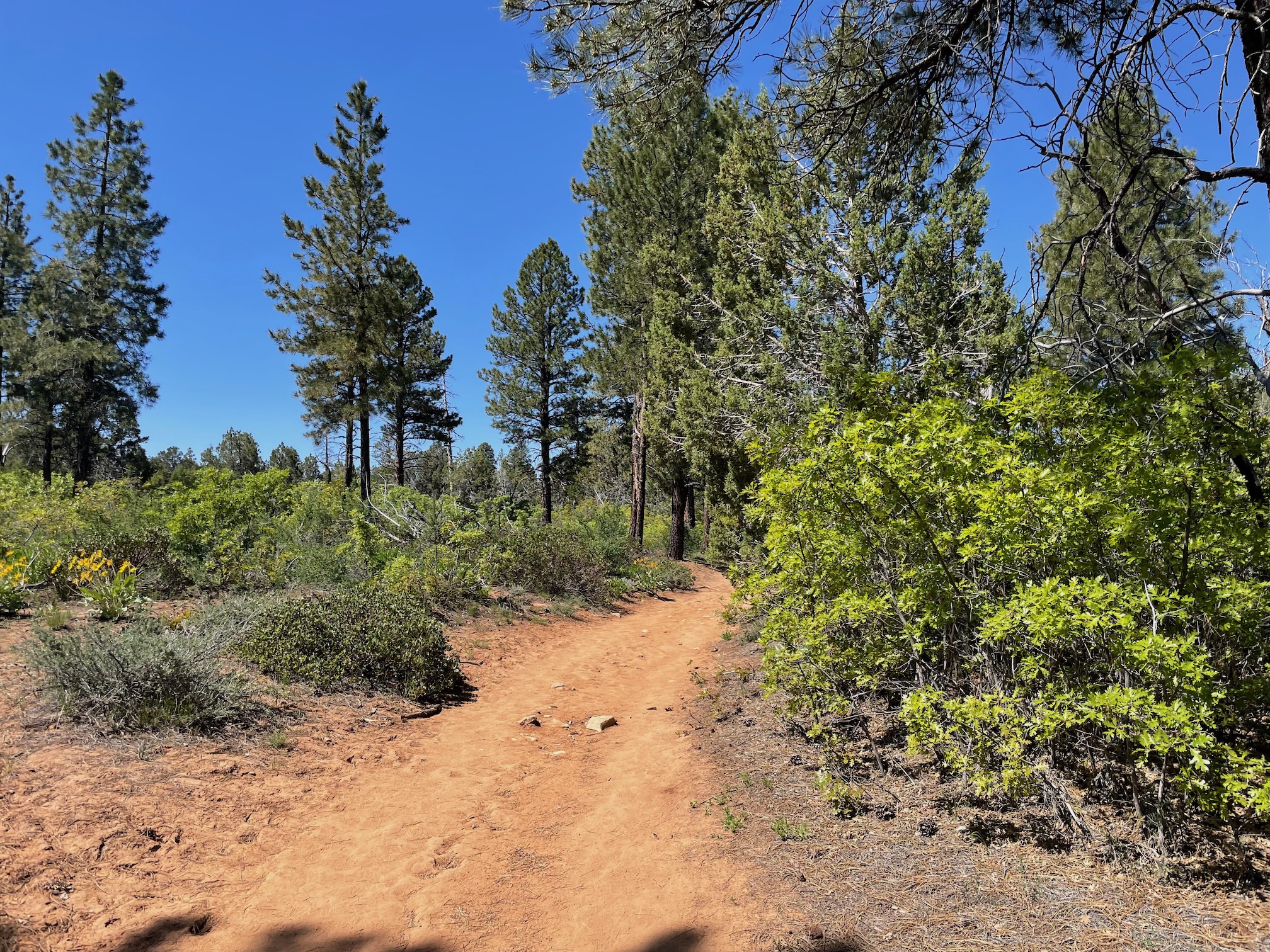
As you can see from the pictures, the trail is bit different from the reds and rocks we had on the previous day. It was a largely gradual climb through a forest-y scene until you hit the final viewpoint overlooking Zion Canyon (and Angel's landing!). While not intentional, it was a bit of nice book end to our trip -- our first hike in Zion was up Angel's Landing and our last major one would be a viewpoint that overlooked that trail. The hike clocked in at about 7 miles, 875 feet of elevation, and a total of 2.5-3 hours for us.
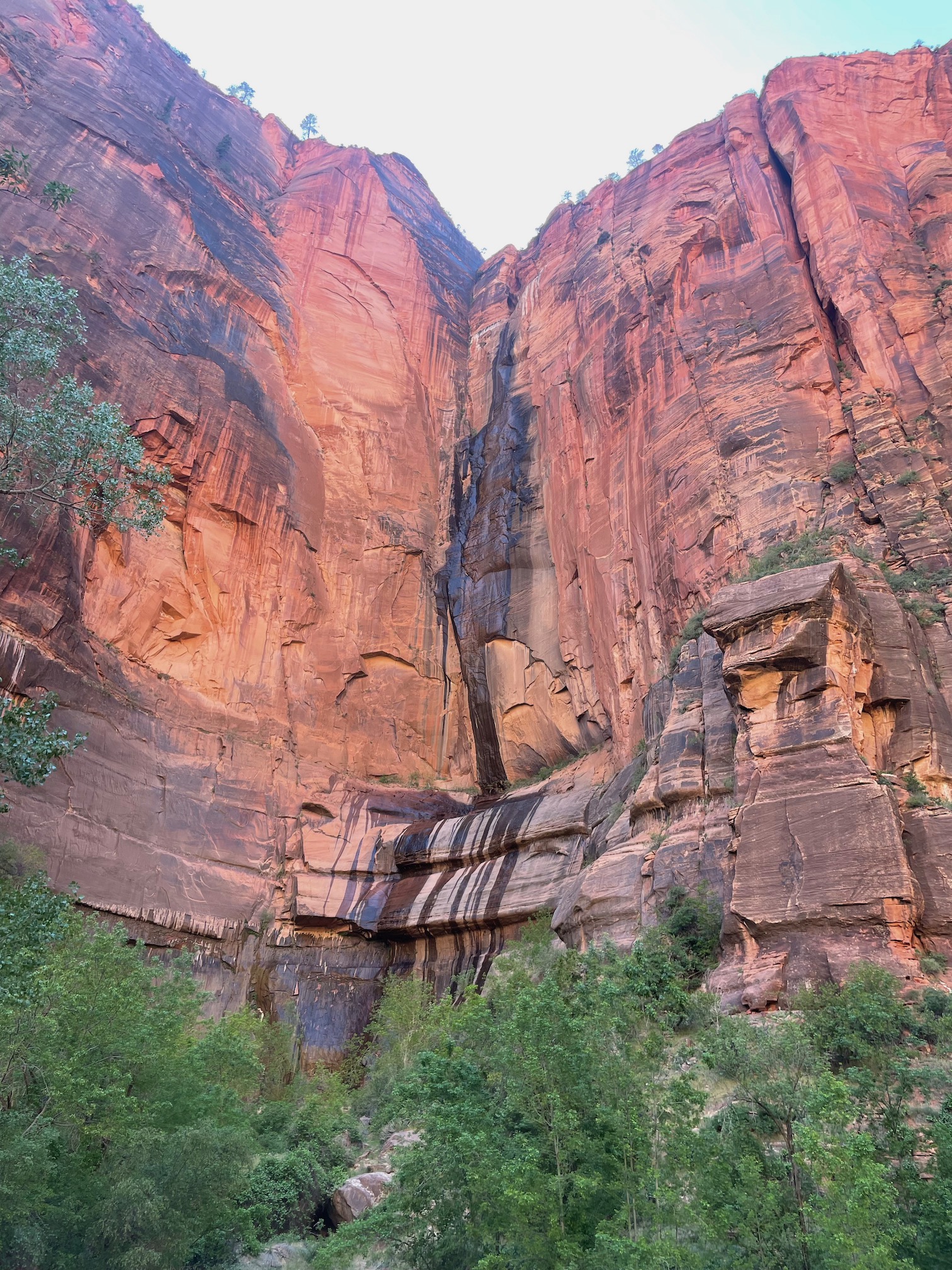
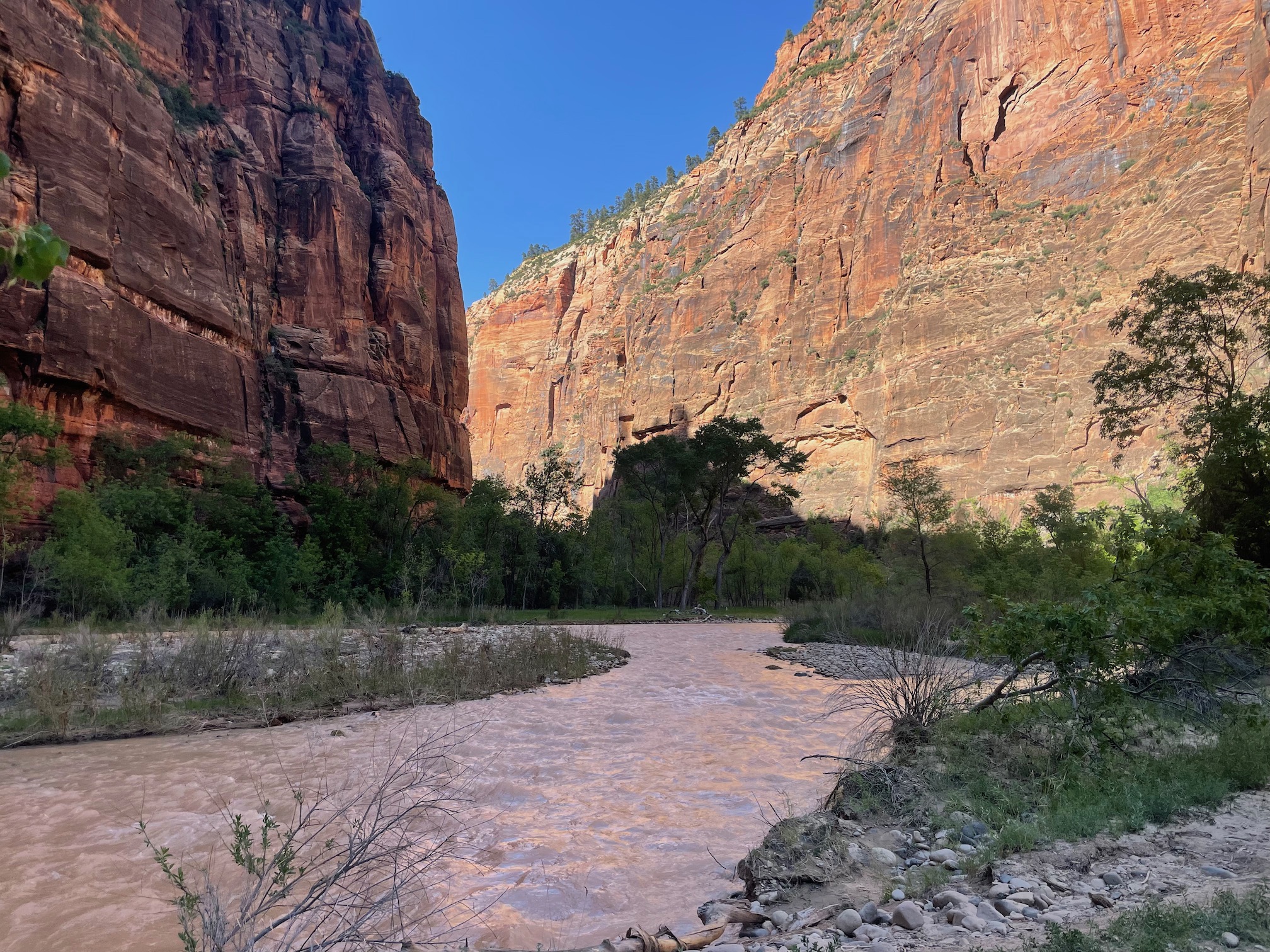
Afterwards, we drove back into the main canyon. However, unlike our previous forays, we entered through the East entrance and got the reveal through the Mount Carmel Tunnel. It was definitely some pretty different scenes (at one point the road was almost red from sand!) and I'm glad we were able to experience a bit more of Zion. Our next activity was the Narrows Riverside Walk, which at clocking in at around 2 miles, 100 ft of elevation, was exactly the relaxing stroll we wanted.
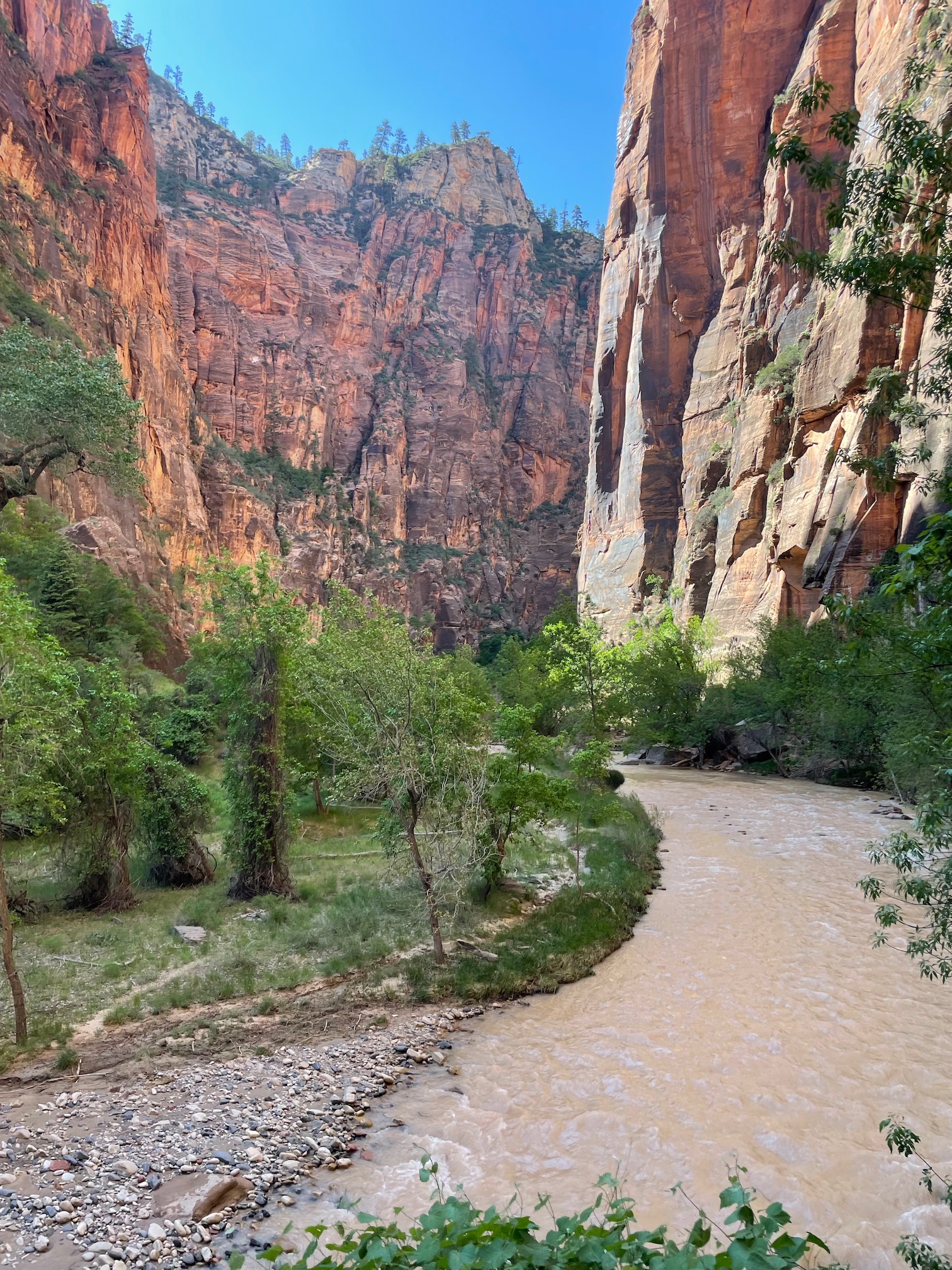
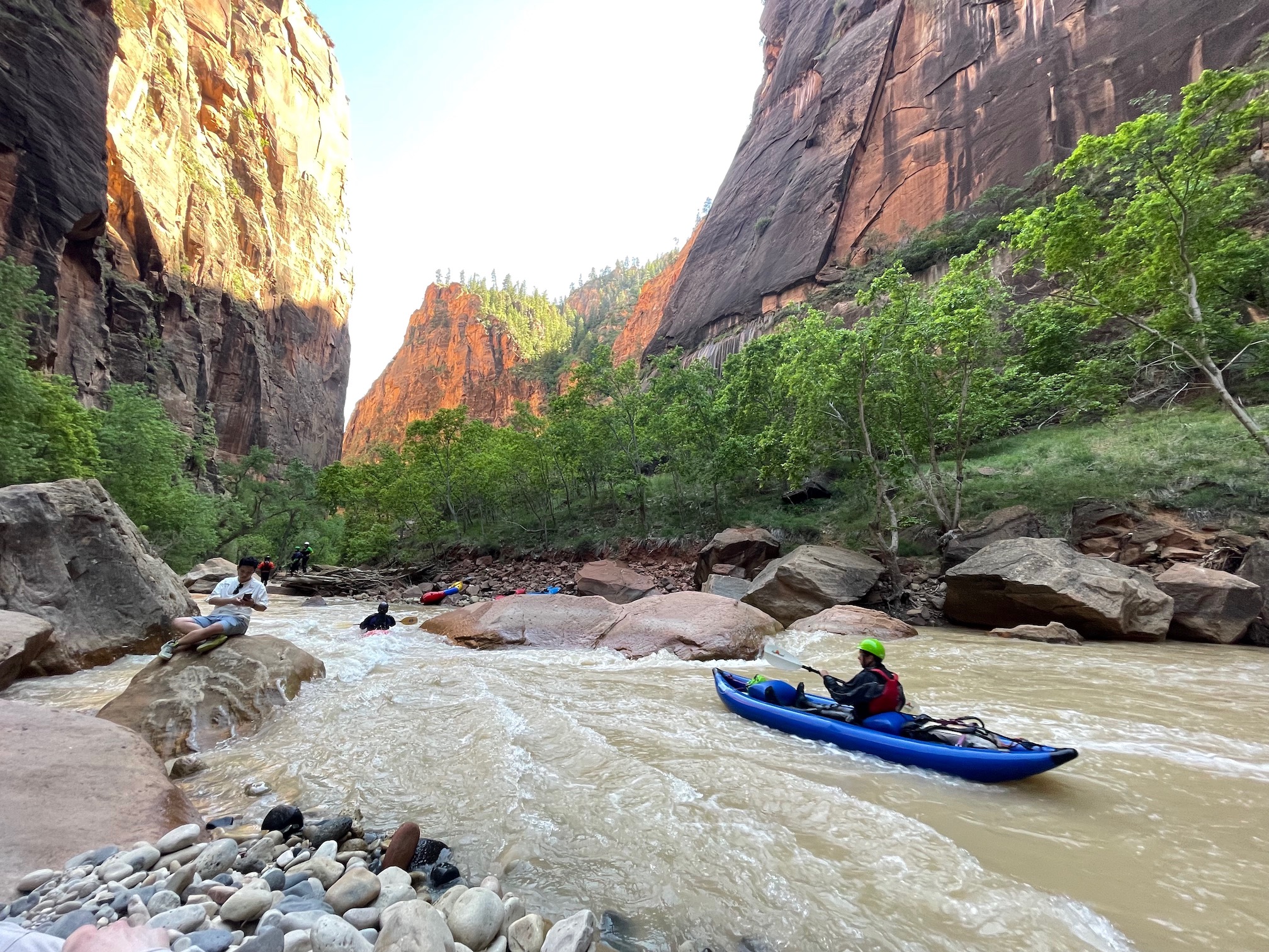
You do have to take the shuttle to the trailhead, but again, I found it pretty efficient and well run. It is also a mostly paved path ("family friendly" is what I usually say) until you hit the end of the trail, which leads into the river. While we were there, as mentioned before, sadly the flow in the river was too high to actually hike in the river and Narrows itself (which 100% should be on the agenda if it is open!). However, it was open to kayakers, a group of whom were able to see go down the river!
Day 6: Valley of Fire & Departure

Our very kind Airbnb hosts provided us some freshly laid eggs which we combined with the pancake mix and some bacon we bought to create a homemade breakfast. I contributed very little to the effort :) but it was a wholesome way for our last morning. The main agenda for this day was driving back to Las Vegas from which we'd fly out, with a pit stop at the Valley of Fire State Park. The park is largely on the way back to Las Vegas (about a 2 hour drive from Hurricane, Utah; note the time change) and is known for the Fire Wave. As we drove in, there were two things that showed us how the park got its name: the streaks of red, white, and more on the rocks and ground and the heat.
The Valley of Fire was definitely warmer than Zion (which was already quite warm in my opinion for hiking). Do note that trails are closed at the Valley of Fire (2024 closures) for safety reasons due to the heat. And I could see why -- while the view was stunning on the hike... it was really hot (as the sign helpfully warned).
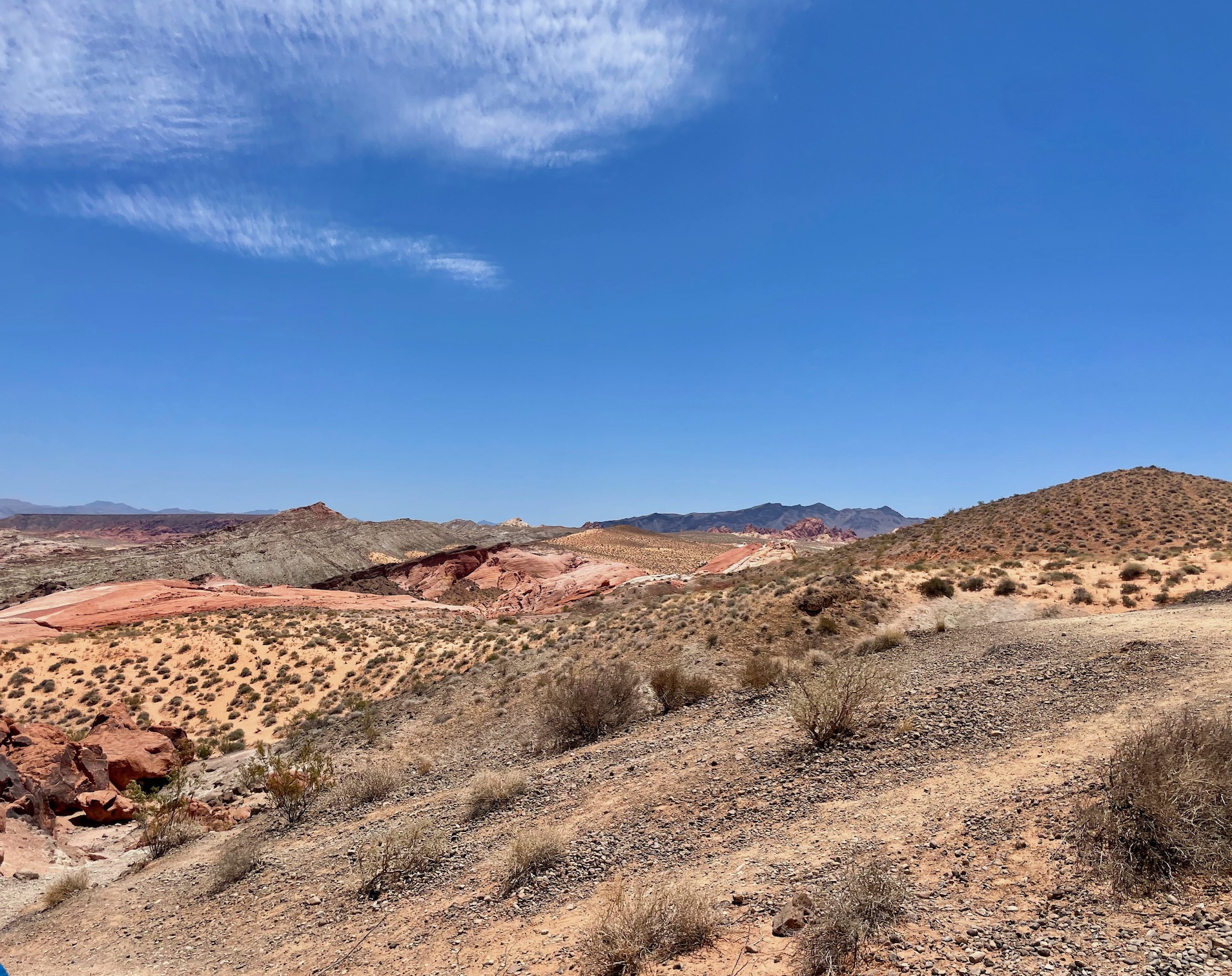
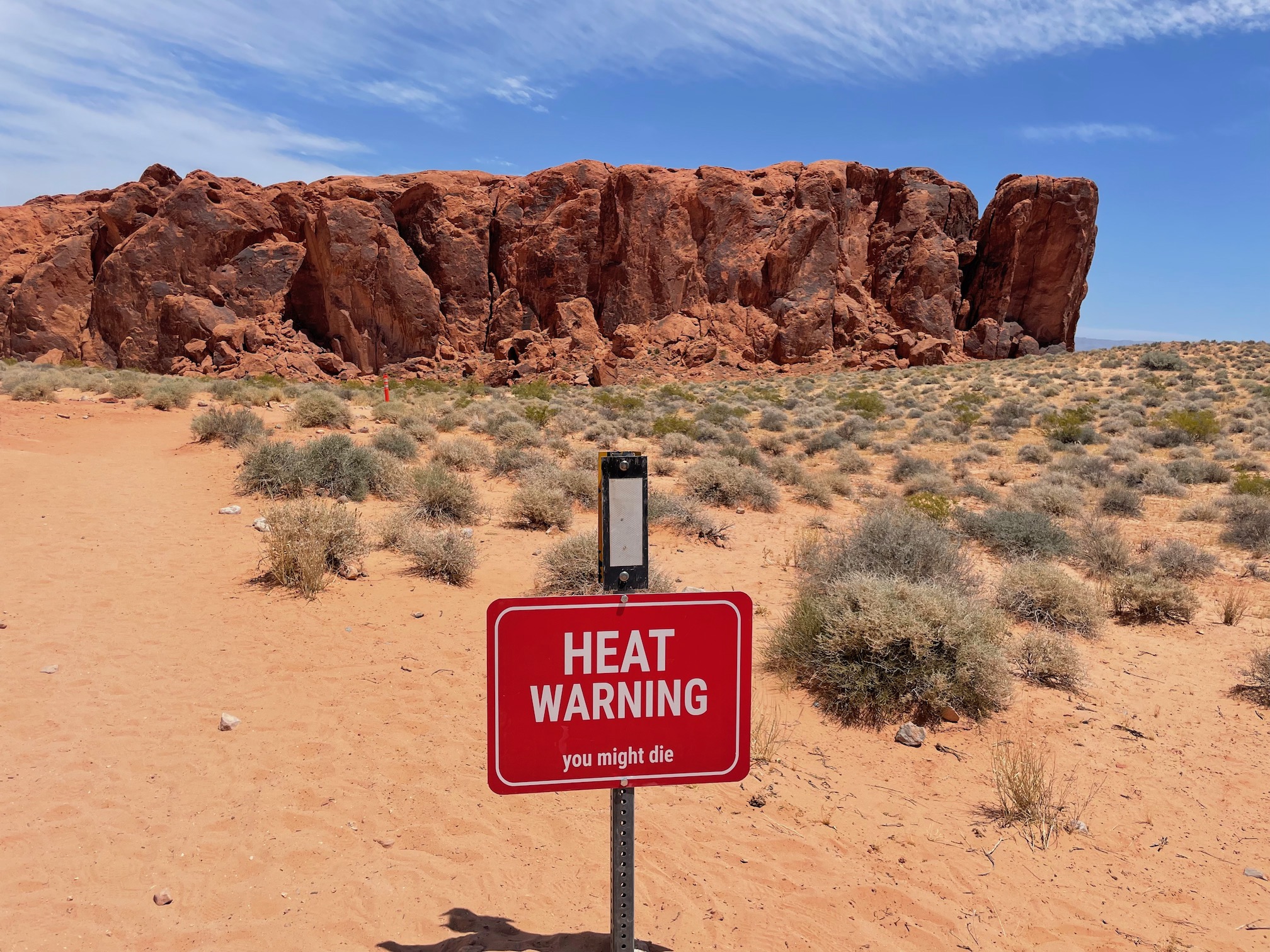
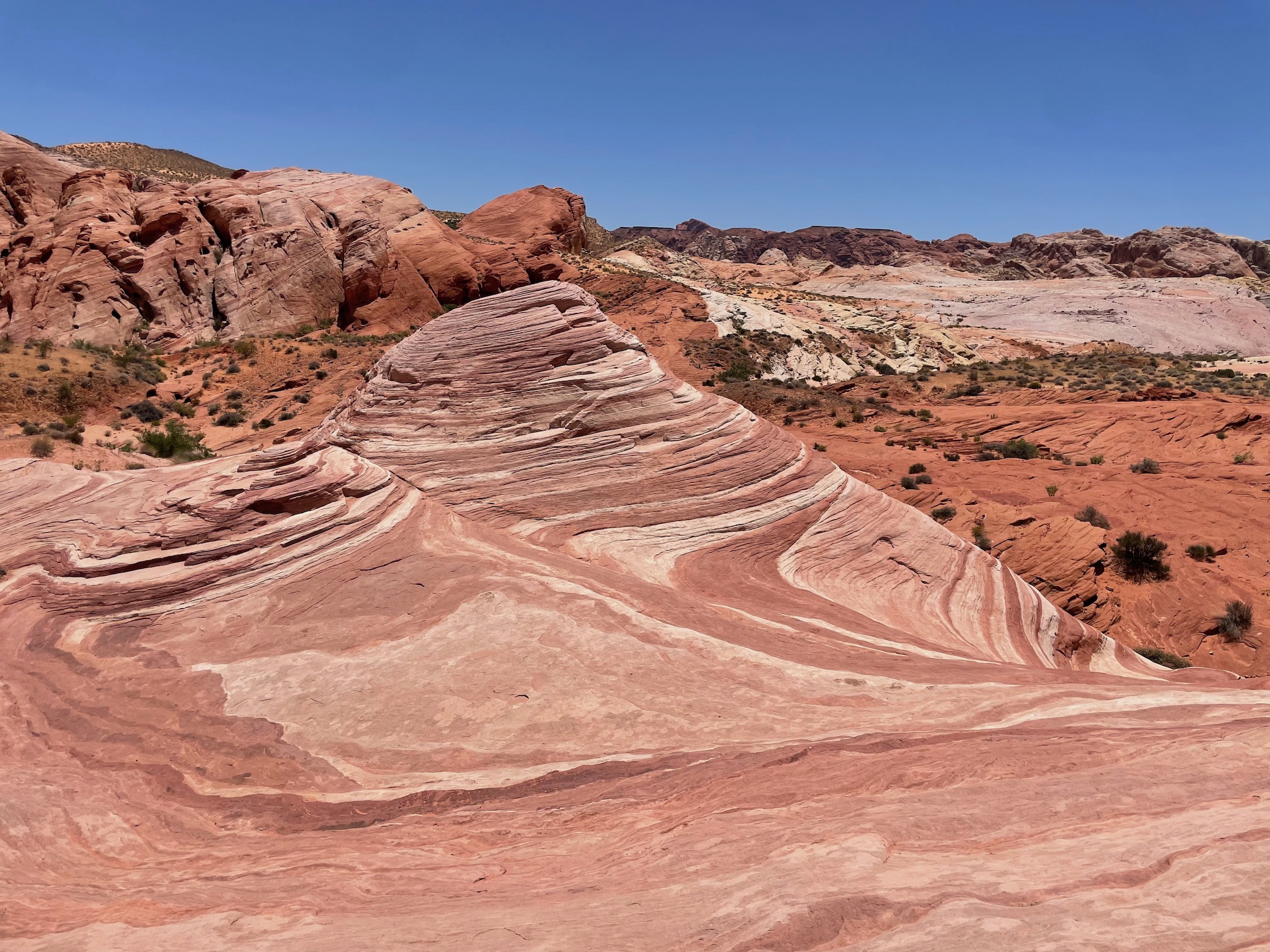
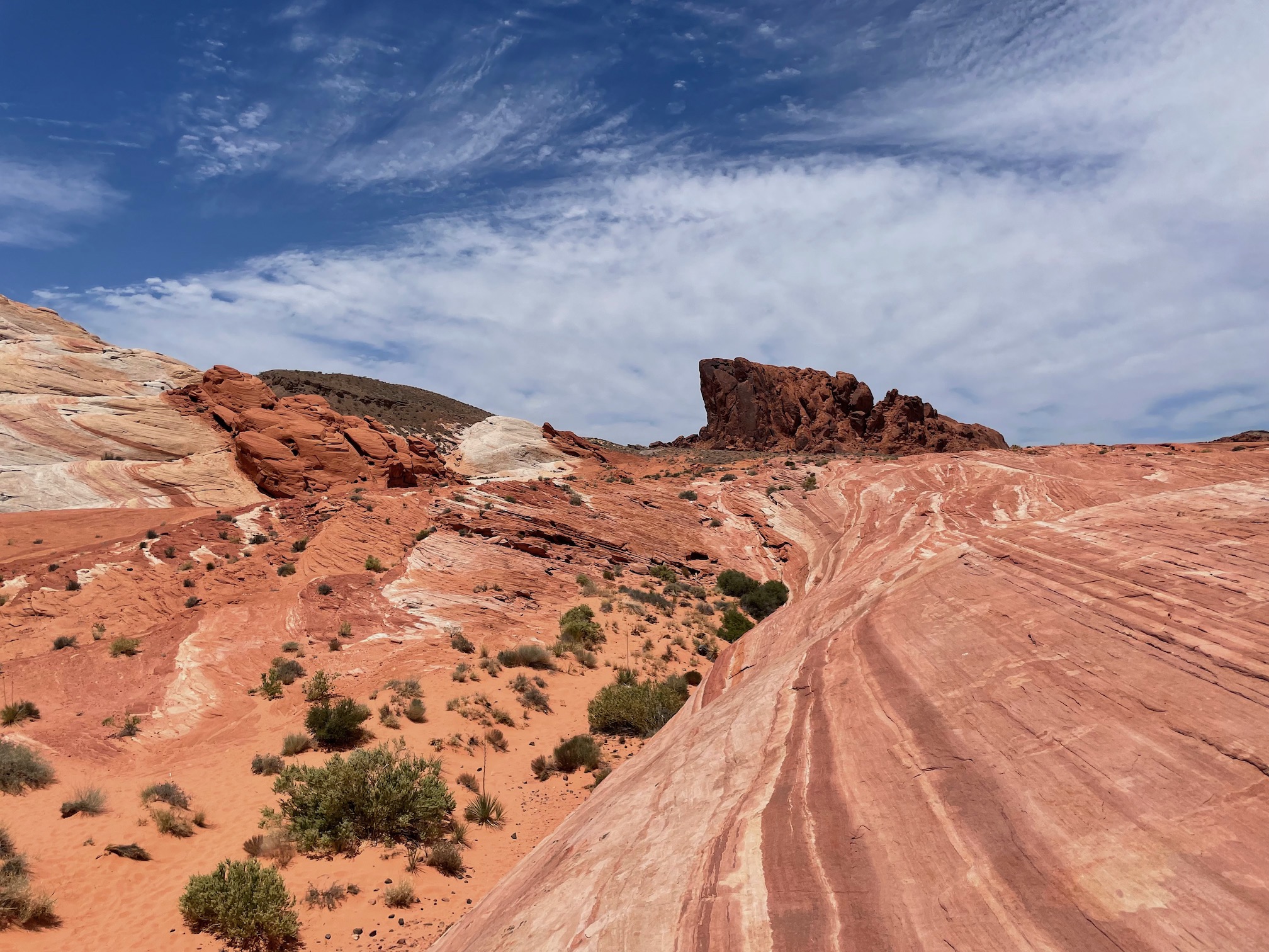
Thankfully, the Fire Wave is only about a 1-1.25 mile hike with ~200 ft of elevation, taking us only 30 minutes. In theory, it is possible to extend the trail, but our heat tolerance was weak and we were quite satisfied with what we had seen on the trail. It is truly a pretty cool sight to see the long red streaks and patterns on the rock.
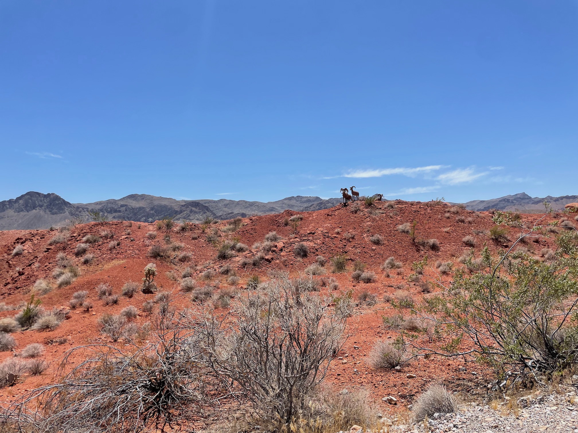
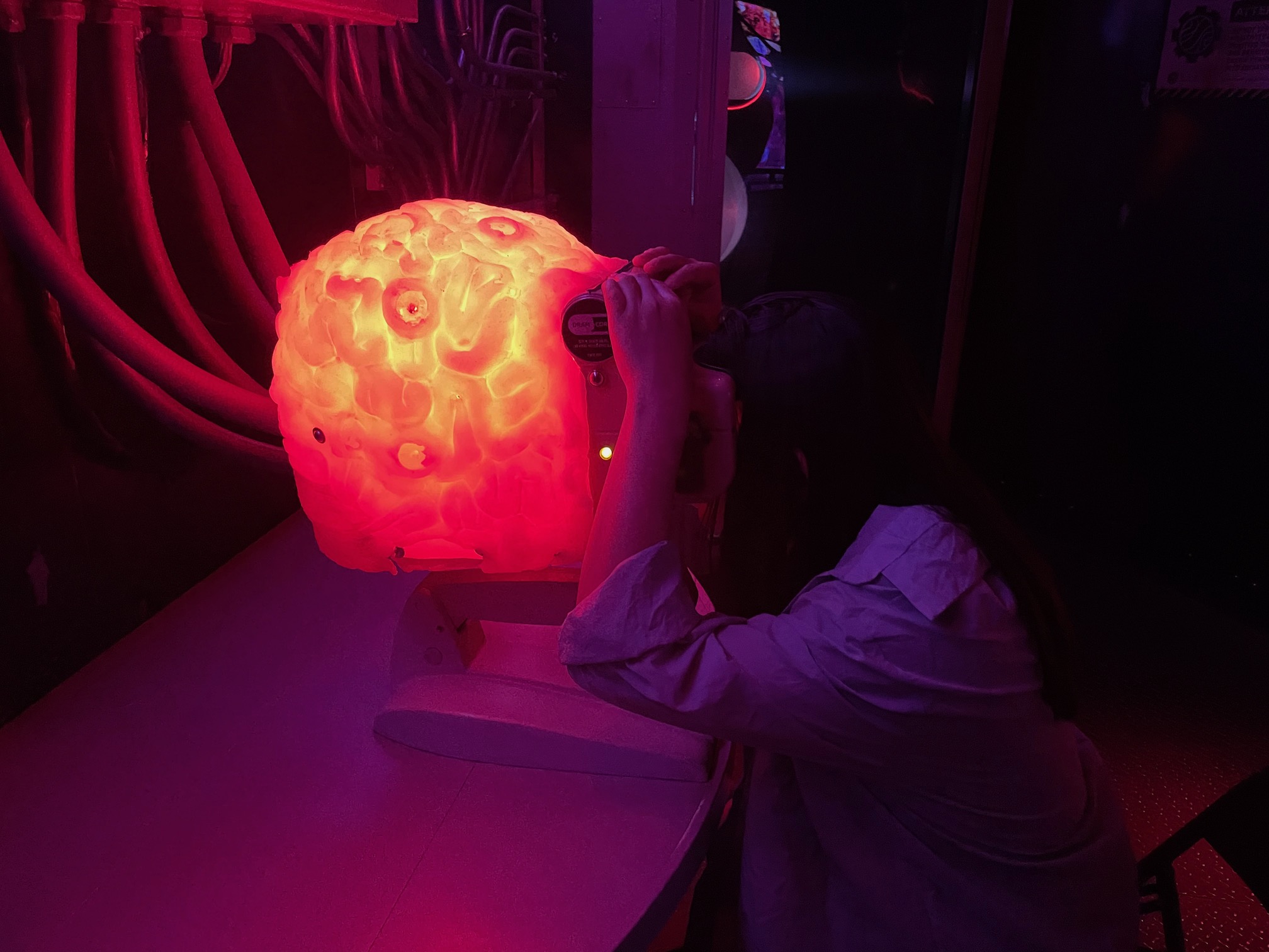
The other bonus sight we got as we drove back out through the park was bighorn sheep! We had read it was possible to see them in the park, but did not really expect to see them. However, as we stopped by the visitor center on the way out, there was a group of the sheep wandering around the parking lot. An unexpected wildlife sighting! From there, we spent the remaining the time before our flights by visiting Meow Wolf and eating some tasty food.
Angel's Landing and a re-visit to Zion had been on my radar for some time. The 4-5 days here was a good amount to spend exploring the park, and adding on Bryce was the cherry on top. The two parks showcase the quite frankly otherworldly beauty that can't be found anywhere else 🔥.
Italy
Art, wine, mountains 👇
Glacier
Lakes, mountains, wildlife 👇
