Glacier National Park
The Crown of the Continent, indeed
I'd been craving to do a nature and hiking focused trip in 2022, and decided on Glacier in April. Because of how permits for the Going to the Sun Road worked (as well as general weather and road opening/closing) this meant planning a trip for the fall.
Quite simply, Glacier is an unparalled experience for day hikes. We spent about five days there and were able to hit most of the iconic hikes, though I'm sure there is still plenty more to explore. But without further ado, the spreadsheet.
Spreadsheet
Logistics
Aside, from the above mentioned reservation needed for Going to the Sun road, there are some other considerations:- Going-to-the-Sun road is usually only open from late June to mid Sept. This means hikes off the road can only happen during that time.
- Trails can close due to bear activity . It's good to have a backup plan and be flexible about switching up the order of your itinerary. Bears tend to be more active in the fall -- and don't forget bear spray!
- Wildfires can also impact visibility. We got pretty lucky in that the smoke mostly cleared up during our stay, but it was actually very hazy on our first day into Kalispell. We used the webcams to guesstimate which parts of the park to go to on a given day.
- Lodging on the East side of Glacier is more limited, but this is also the ideal location to stay. We stayed in St. Mary's and most parts of the park were accessible from here (<1 hour drive).
- Hike734, Hiking in Glacier, as well as AllTrails were pretty solid resources for hike information.
Day 1: Arrival
We flew into Kalispell Airport (FCA), which is the closest airport to Glacier. It's also possible to fly into Spokane, but that's about a five hour drive versus the two we did from Kalispell to St. Mary's. Kalispell or nearby is a good place to stock up on all you'll need for your trip. We made stops at REI for trekking poles and Walmart for food/water. We rented bear spray from Glacier Outfitters, but one person we met on the trip said often times the rental car companies will have leftover bear spray you can borrow.
One thing we learned the hard way -- definitely buy your sunscreen in Kalispell, where you'll get the normal selection for a normal price. Turns out St. Mary's only sold one brand of Caribbean water proof (?) sunscreen at $20+ for an 8oz bottle...
Day 2: Many Glacier - Ptarmigan Tunnel
For our first hike, we decided on Ptarmigan Tunnel in Many Glacier area. The hike clocks in at about 10.6 miles with 2375 ft of elevation, though you feel most of that elevation gain in the switchbacks up to the tunnel. It took us about 3.5-4 hours for the hike.
We got to the trailhead at about 8:30 am and there was plenty of parking (though the same could not be said for the Grinell Glacier parking, which is nearby). Originally, we wanted to combine this hike with Iceberg Lake, which shares the same beginning as Ptarmigan Tunnel, but the trail was closed (and remained closed for our trip) due to bear activity.
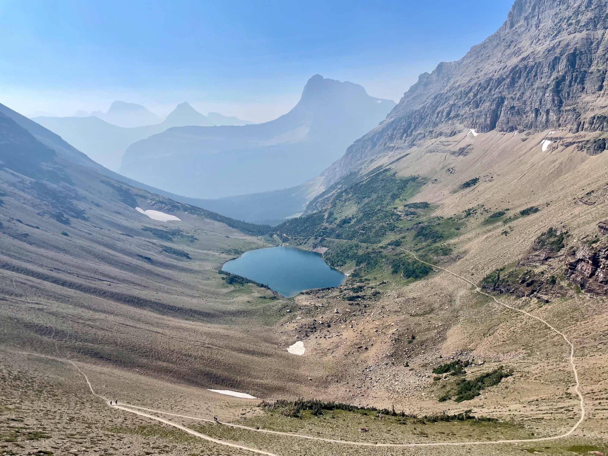
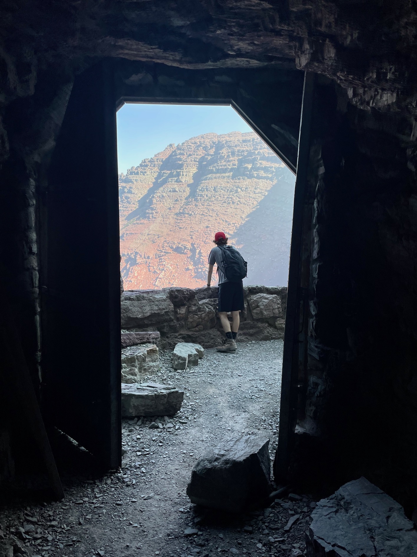
You can see it was still a bit smokey, but much better than we expected! The hike was a great introduction into Glacier, had a lovely forest section before reaching Ptarmigan Lake, and the aforementioned switchbacks up to the tunnel were tough but doable. The view through the tunnel was my highlight, as you get to see two different landscapes before and after.
While at the tunnel view, we were also able to see some mountain goats! Aside from chipmunks, this was our first but not last ;) wildlife spotting. Also, interestingly, though morbid, Ptarmigan Tunnel was the site of a freak death when a lady's horse tripped, fell onto her, and knocked both of them off of the trail over the cliff.
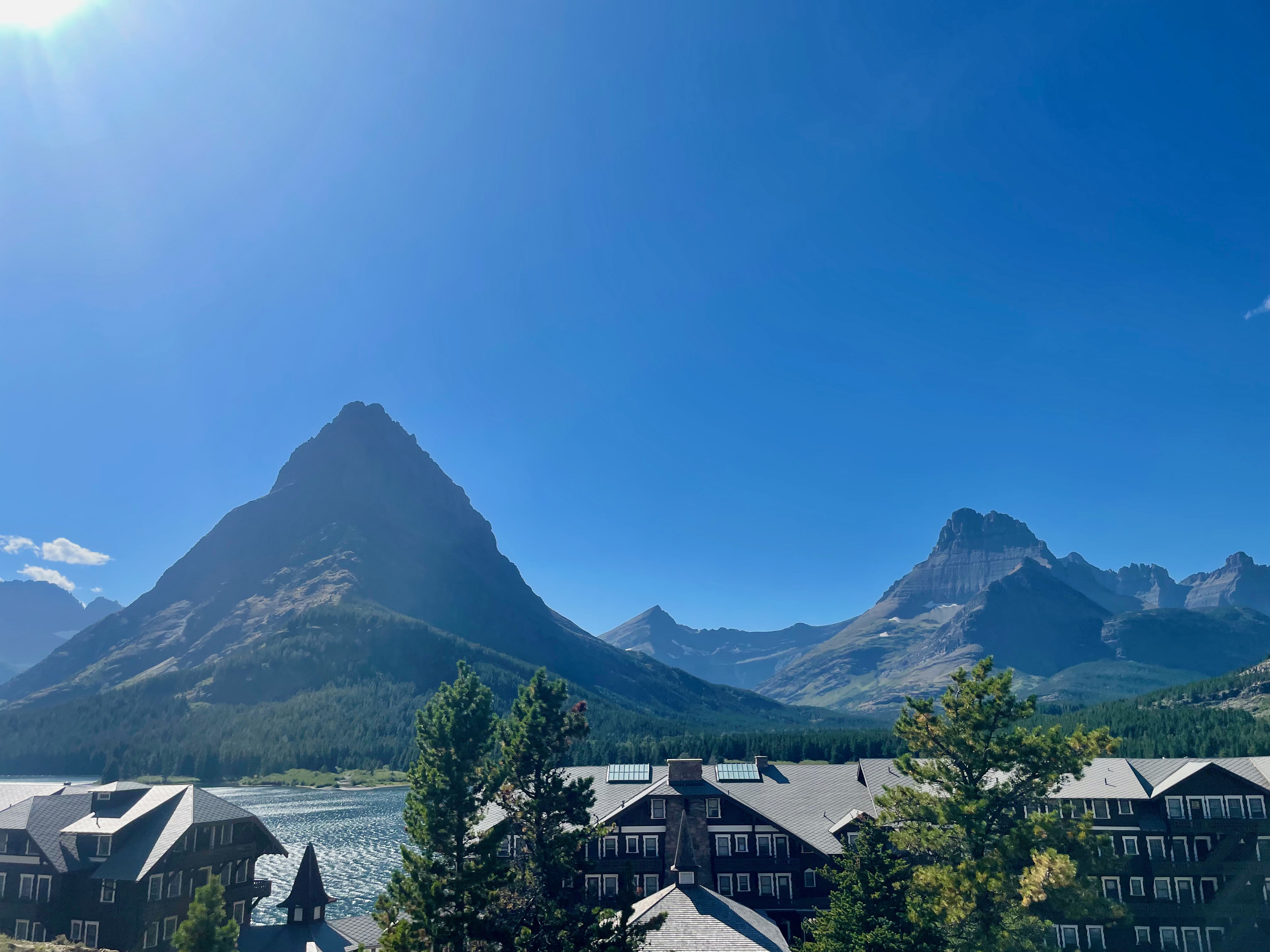
After finishing up the hike, we hung out for a bit at Many Glacier Hotel and drove a portion of Going-to-the-Sun Road, making stops at Wild Goose Island Overlook and a bit of the Sun Point Nature Trail.
Day 3: Many Glacier - Grinnell Glacier
We headed out to Many Glacier area again for our second hike, tackling probably one of Glacier's most beautiful hikes -- Grinnell Glacier. Honestly, it lived up to the hype and probably ranks in the top 3 hikes that I've ever done. If you only have time for 1-2 hikes in Glacier, make sure this is one of them.
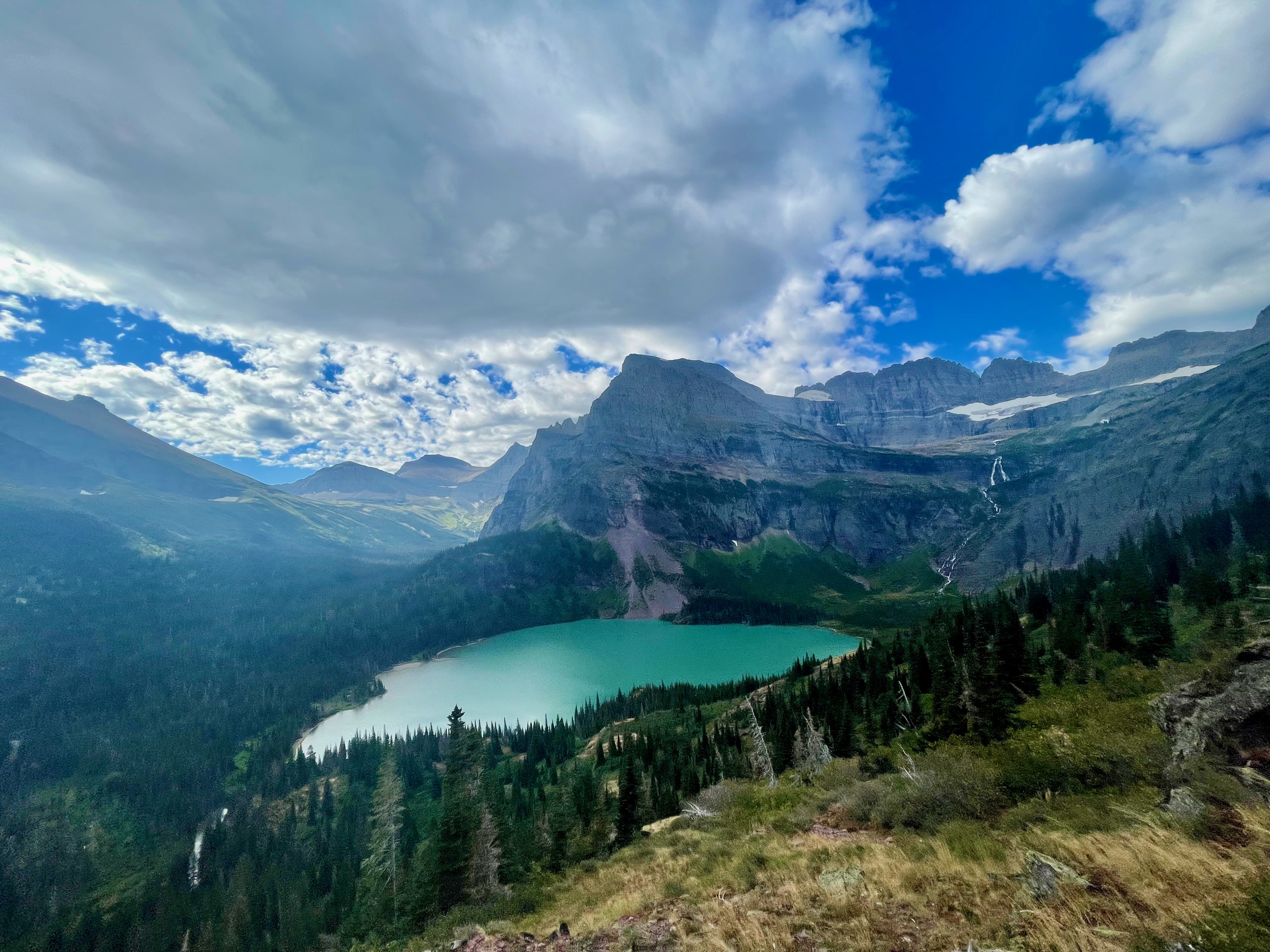
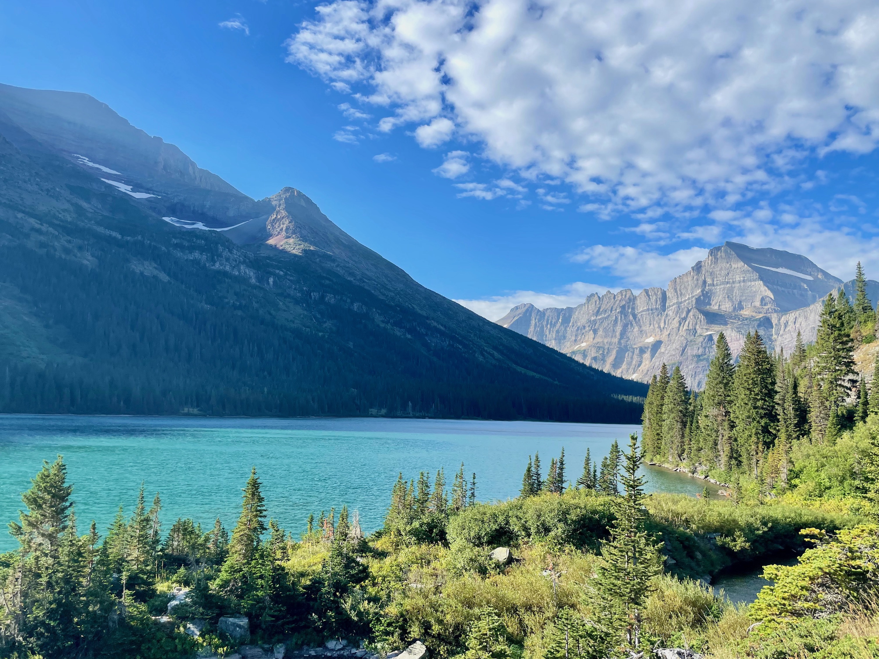
The stats for Grinnell are similar to Ptarmigan Tunnel at about 11 miles and 2000 ft of elevation gain. Similarly, we got to the trailhead around 8:30 am and were able to find parking relatively closeby. We took about 4-5 hours for the hike, but you get hit with views almost immediately which makes for a pleasant and rewarding hiking experience.
It's possible to take a boat across Swiftcurrent and Josephine lakes to shorten the hike, but the trail along the hike is relatively flat and pretty so we didn't find the boat necessary. Though sometimes there would be a small traffic jam whenever the boat let people off to start their hike, it was still relatively open while hiking, with people able to spread out on the trail and at the glacier.
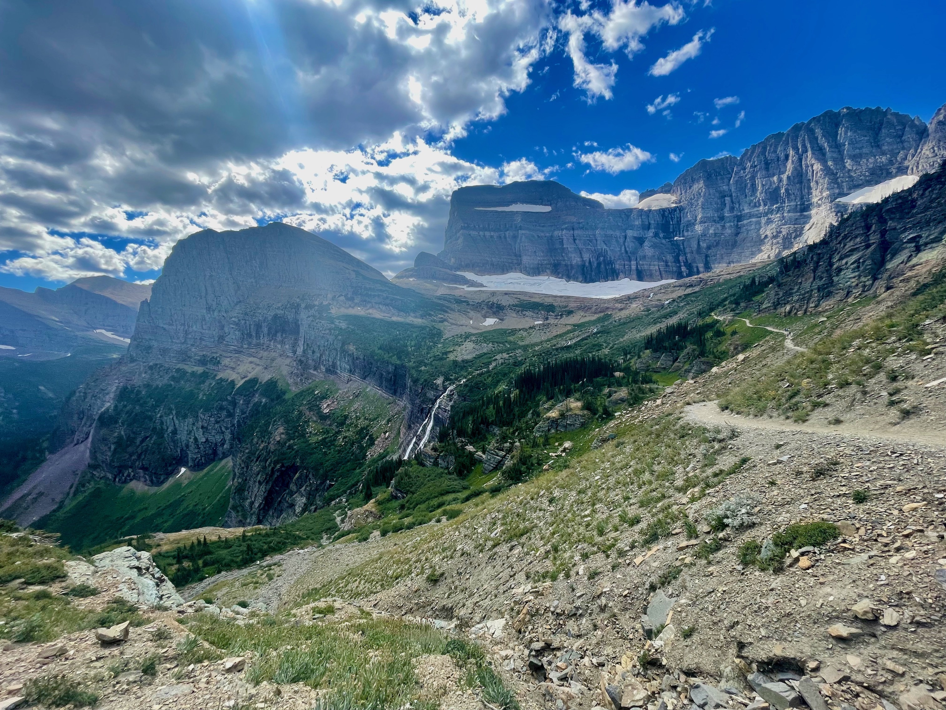
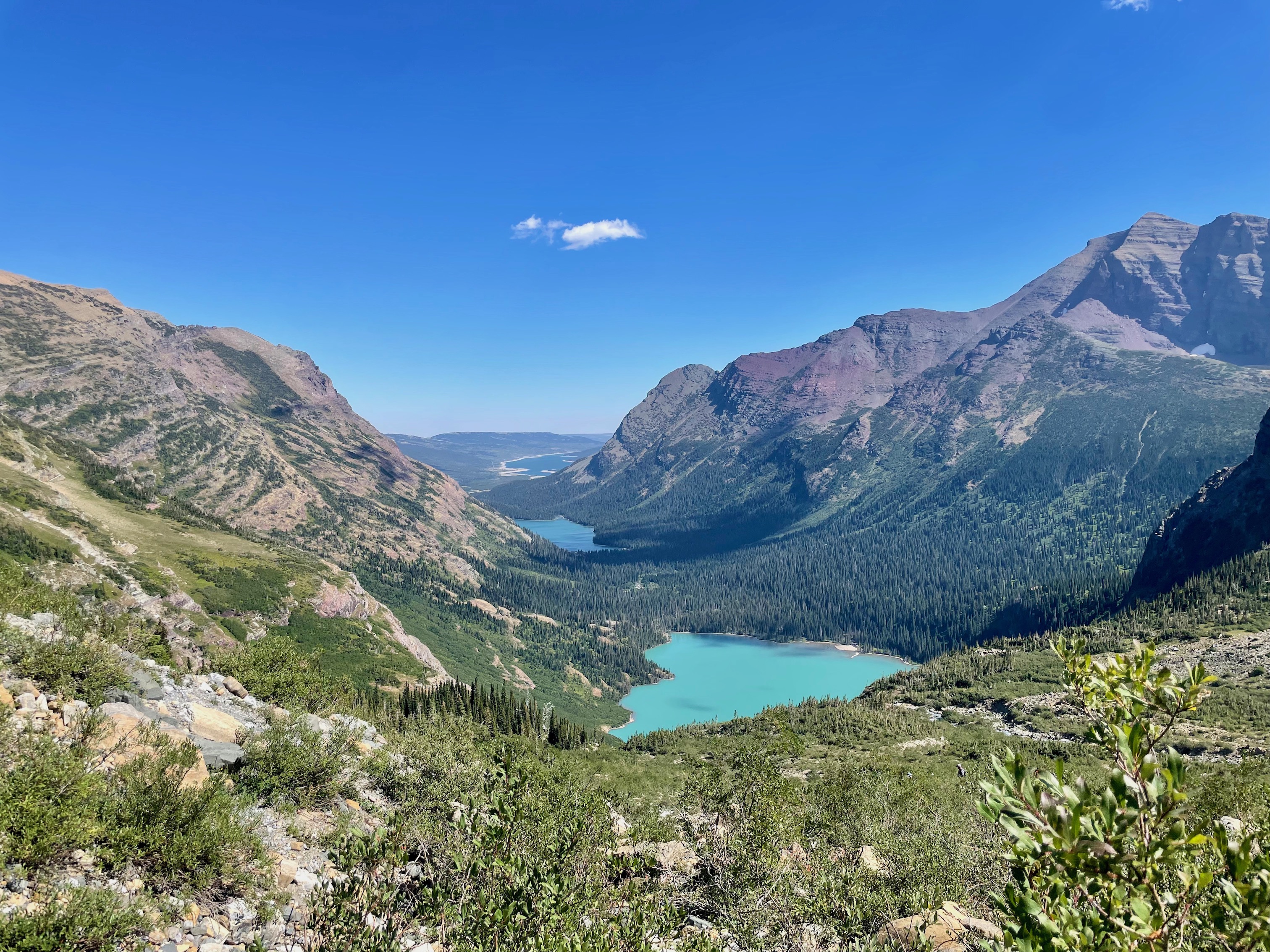
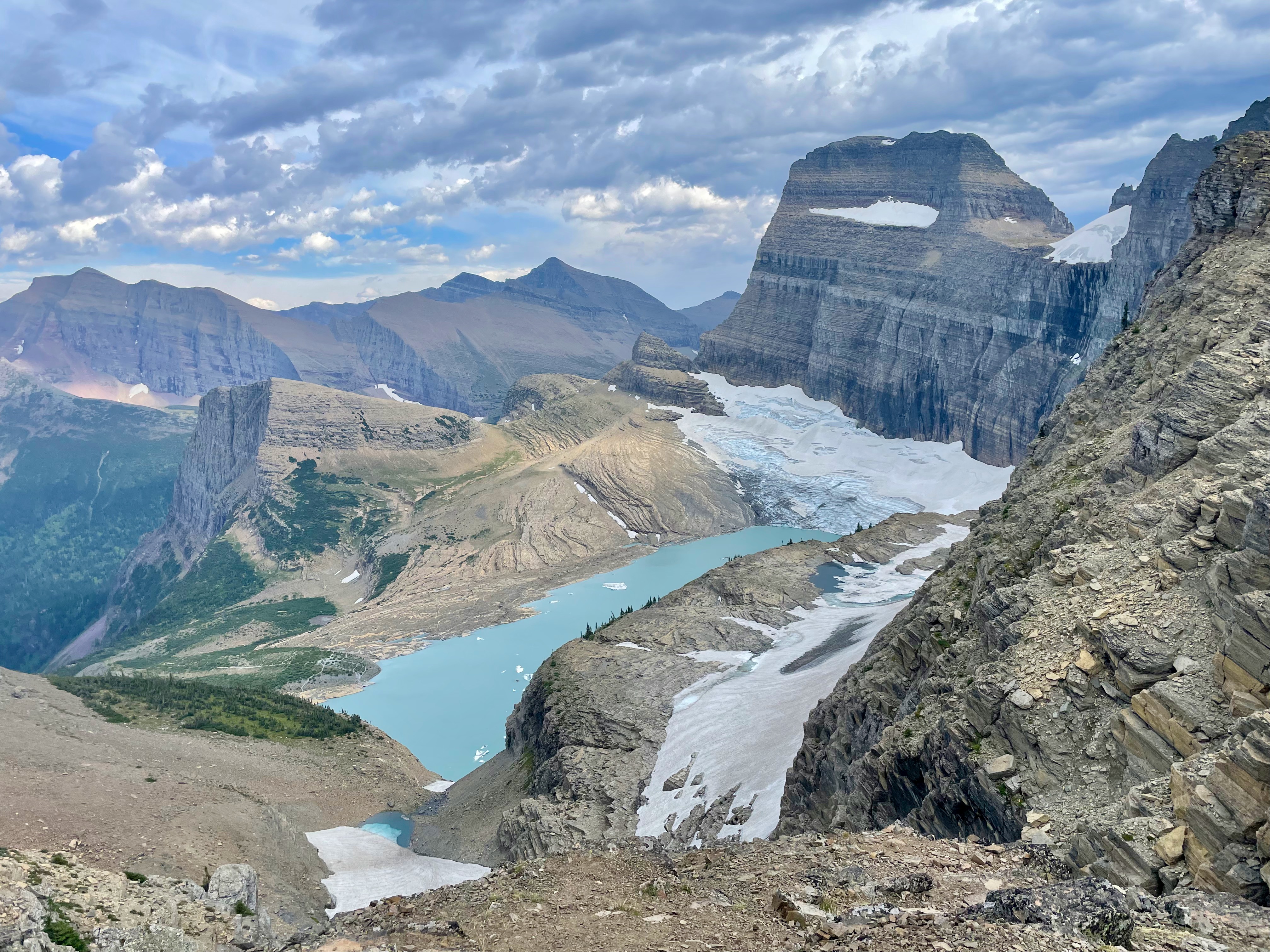
After the two lakes, you begin your climb toward Grinnell Glacier, passing by Grinell Lake on your way up. All the while, you are greeted with amazing views. Unusually there was also a pit toilet right before the glacier as well, where we managed to spot some big horn sheep in the distance (we got a much closer look in a later day!). I almost expected the glacier to be a bit of a letdown at the end, but in this, the hike did not disappoint either.

Like the previous day, we spent the afternoon at Many Glacier Hotel, playing copious games of Cabo (protip: try not to forget the two card decks you bought...) , and caught dinner at the hotel as well. Sadly, they ran out of their Huckleberry Pie, which we were told by a couple yesterday was exquisite.
Day 4: Two Medicine - Pitamakan-Dawson Loop
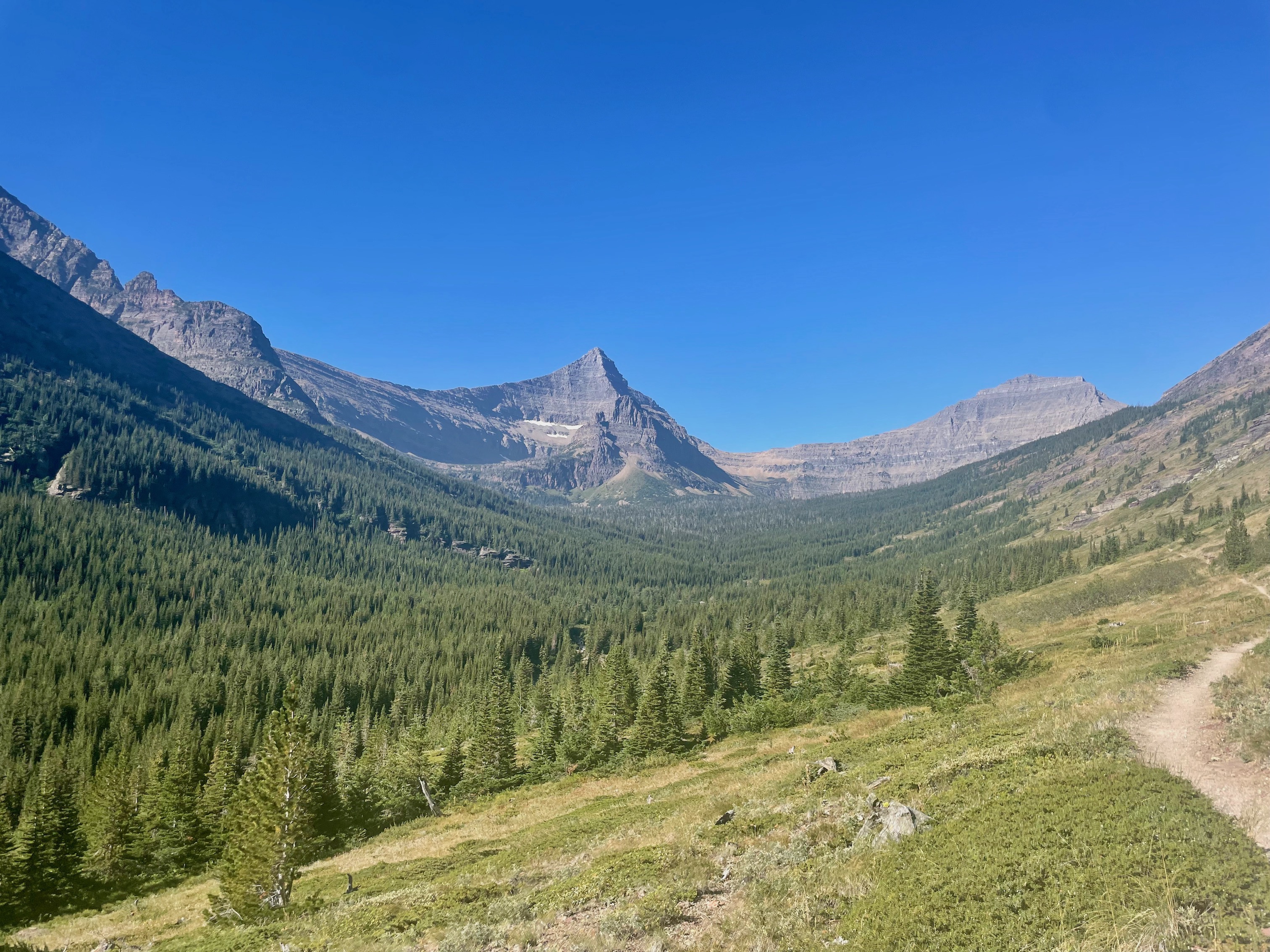
This was our longest hike, down in the Two Medicine part of the park, hitting roughly 18 miles, 3600 ft of elevation, and taking us ~7 hours to complete. We elected to do Pitamakan-Dawson counter-clockwise, so we'd be able to catch the boat across Two Medicine Lake on the last stretch and shave off 3-4 miles. The north shore of Two Medicine Lake was closed due to bear activity, and taking the south shore would have added another extra 2-3 miles on top of an already long hike. We were able to buy the tickets online the day before and just show the emailed confirmation at the boat.
We hit the trail at 8:30 am to ensure we'd have enough time to catch the last boat at 5:15 pm. We were making good time and the trail was gloriously sparse of people. But of course, we ran into a grizzly bear, happily munching on huckleberries, and heading straight toward us on the trail. Needless to say, we backpeddled until we could no longer see the bear walking at us.
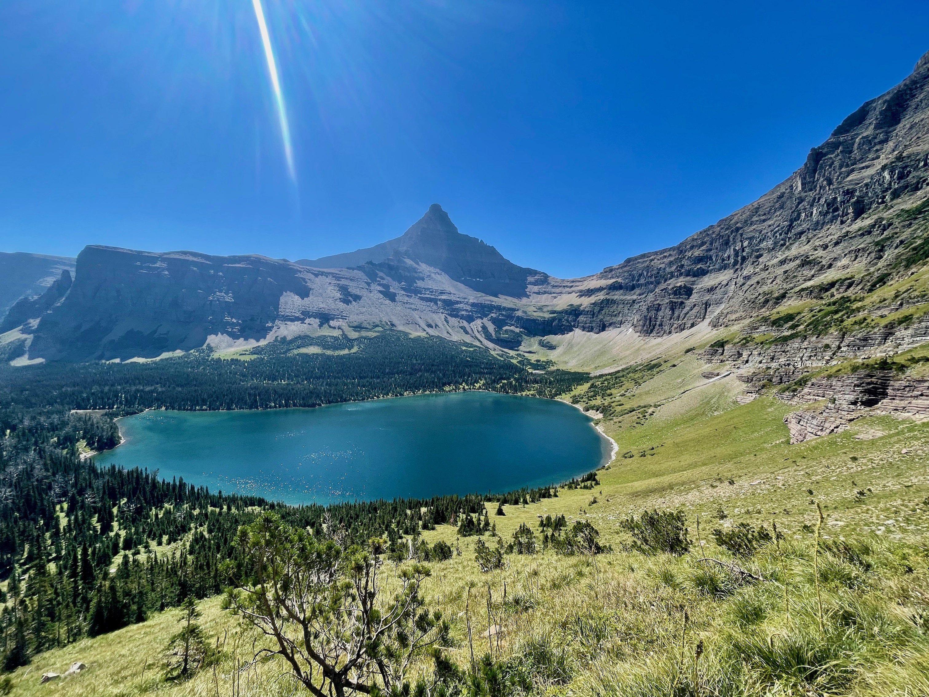
Bears make Glacier their home, and ultimately we are just visitors. When entering Glacier or any other bear country, it is good to be prepared with bear spray (and know how to use it). Luckily for us scaredy cats, we joined up with another group of hikers and making lots of noise were able to retrace our steps past where we had first seen the bear and down to Old Man Lake. Old Man Lake is well worth the short detour (and was a chance for us to calm our nerves) if there is time.
Heading up the switchbacks from Old Man Lake, we finally reached Pitamakan Pass and then later Dawson Pass. Both offer top of the world feelings, with quite literally 360 views. We went on a day with low winds, but I can see how it can be terrifying with high winds, especially after Dawson Pass where the trail is narrow and on the cliff side. A hiker we later met down near the boat mentioned seeing some big horn sheep chilling near the pass as well, though we didn't see any.

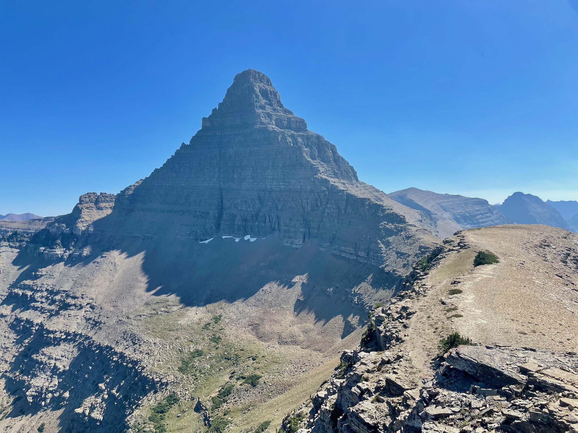
The panoramic views and frankly, silence, with the absence of most human activity, was impressive. There is a ton of variety on this hike: starting and ending in more forest-y areas, with multiple lakes, sheer mountains, and honestly, the bear. It is not an easy hike (and we had to high tail it at the end to make sure we caught the boat), but well worth the journey.
Day 5: Highline
Perhaps the most iconic hike in Glacier is the Highline. A point to point hike starting/ending at Logan's Pass down/up to the Loop, there are various options for hiking the Highline. We parked our car at the Loop around 11:30 am, took the shuttle to Logan's Pass and hiked back to the Loop and our car. This route, including a detour to Grinell Glacier Overlook, landed us at about 14 miles, 2308 ft, and 5-6 hours.
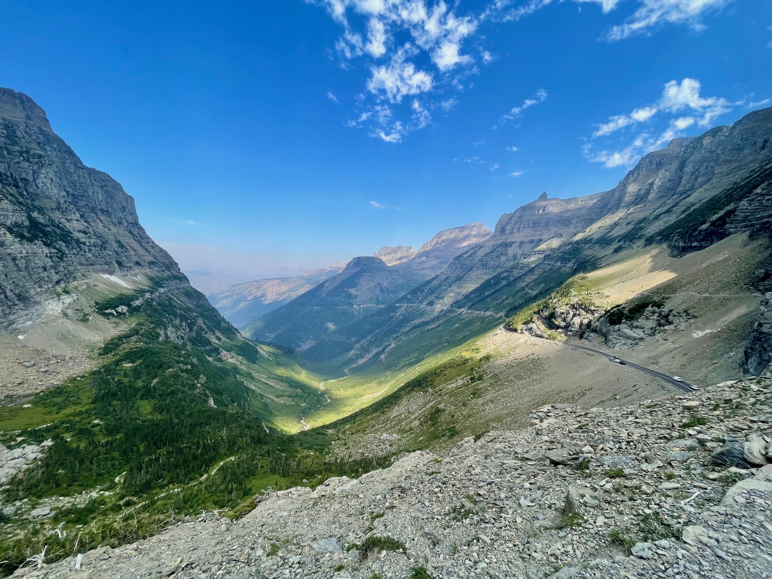
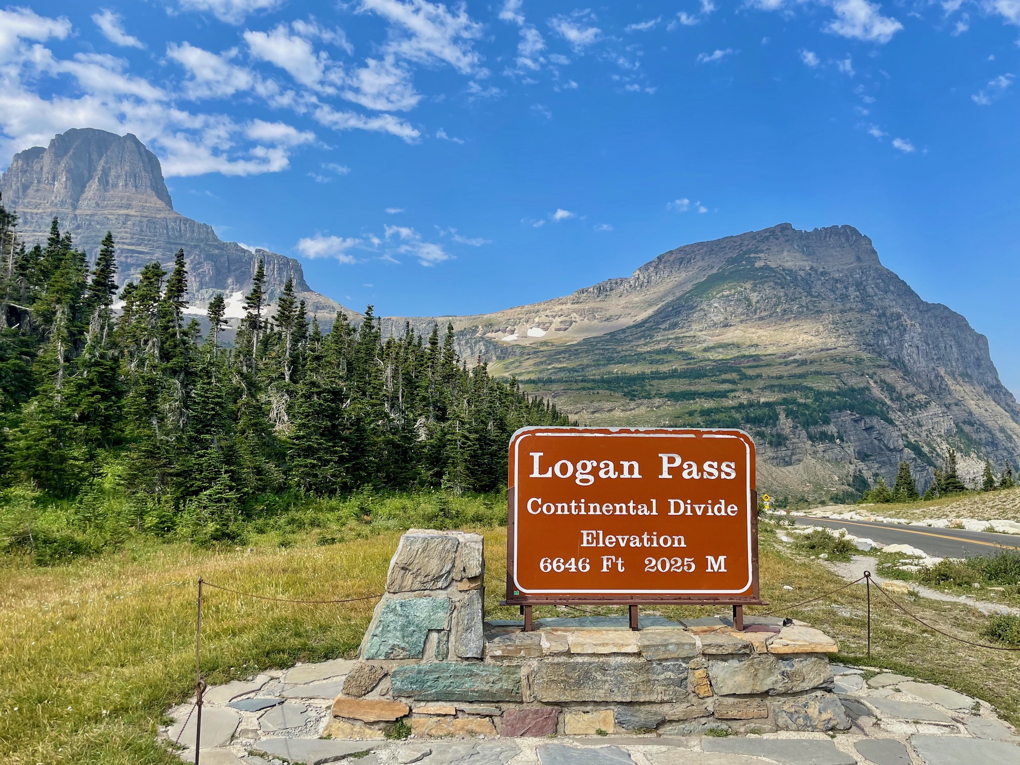
Starting at Logan's Pass and ending at the Loop is easier in the sense it is generally a gradual downhill, with some small uphill sections. The tricky part, though, is figuring out transportation to and from either end, which is usually done through the park shuttle system, as well as parking, which is limited. Logan's Pass has the bigger parking lot, but is more popular (more viewpoints, hikes start from there), while the Loop only has ~25 or so spots. We gambled parking at the Loop so we wouldn't have to rush to catch the shuttle at the end of the hike, which has reduced hours past Labor Day (9-5). To our surprise, we were easily able to get a parking spot nearby in this pullout.
The Highline follows the Going-to-the-Sun road for a bit and is known for being narrow and sheer. After Pitamakan-Dawson though, the Highline wasn't very scary and there was plenty of room on the trail to manouver. There was some haze in the air, but mostly just blurring out the views in the far distance. Because of how exposed it is, the Highline gives you big bang for your buck in terms of effort vs views.
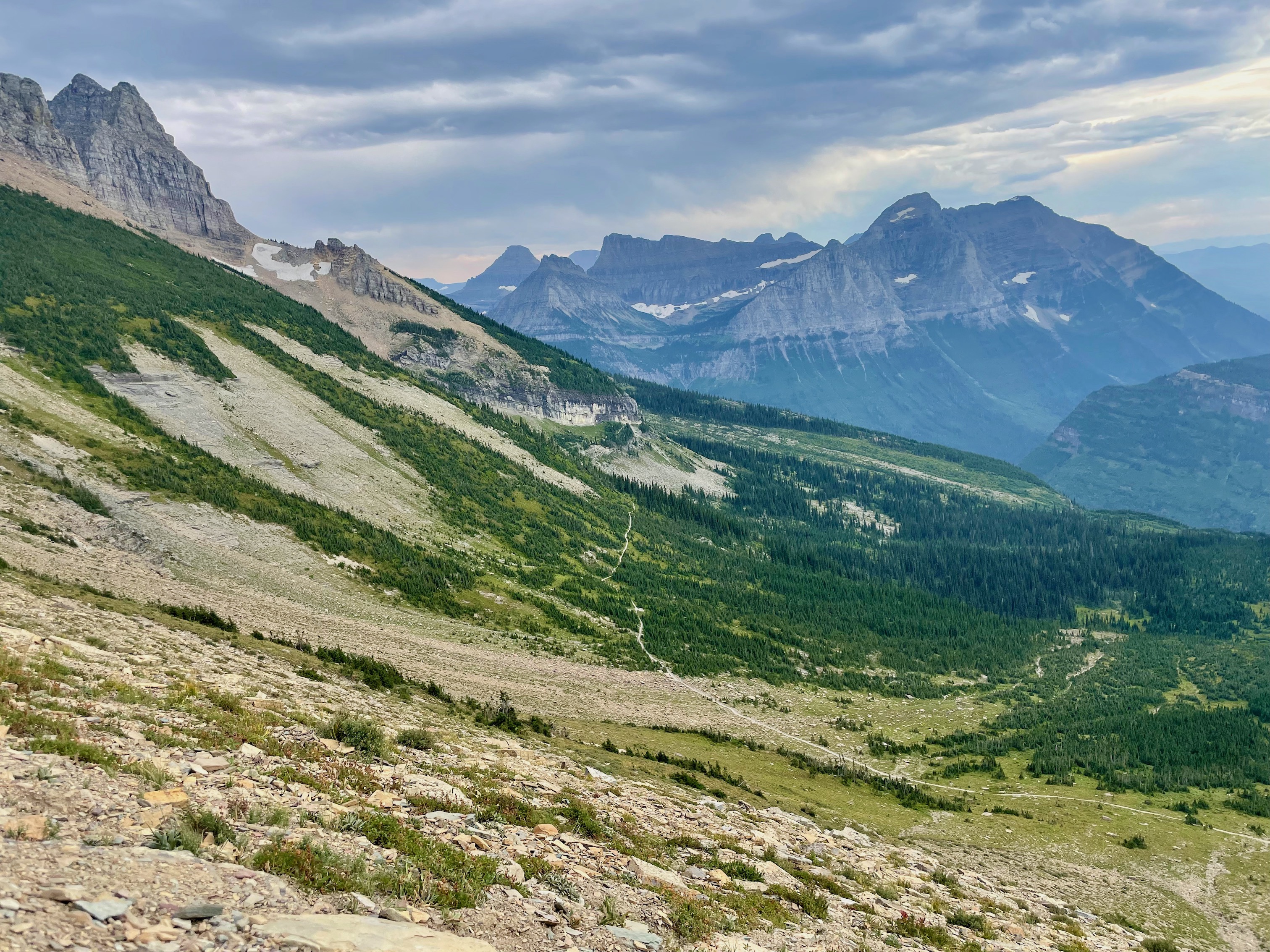
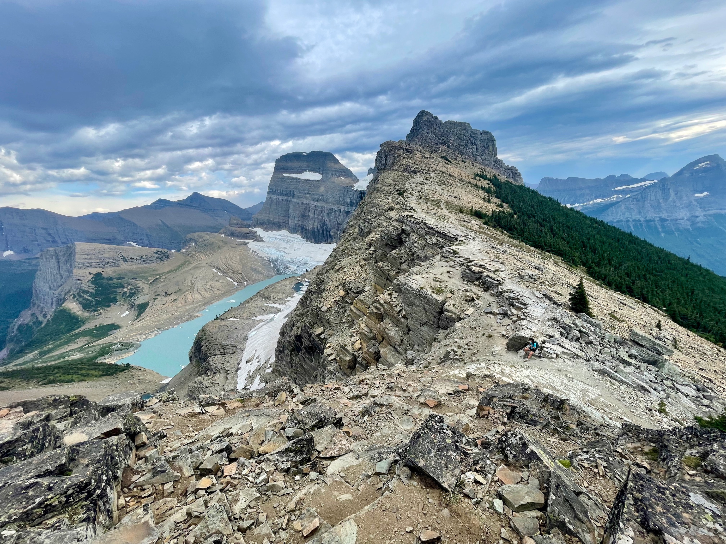
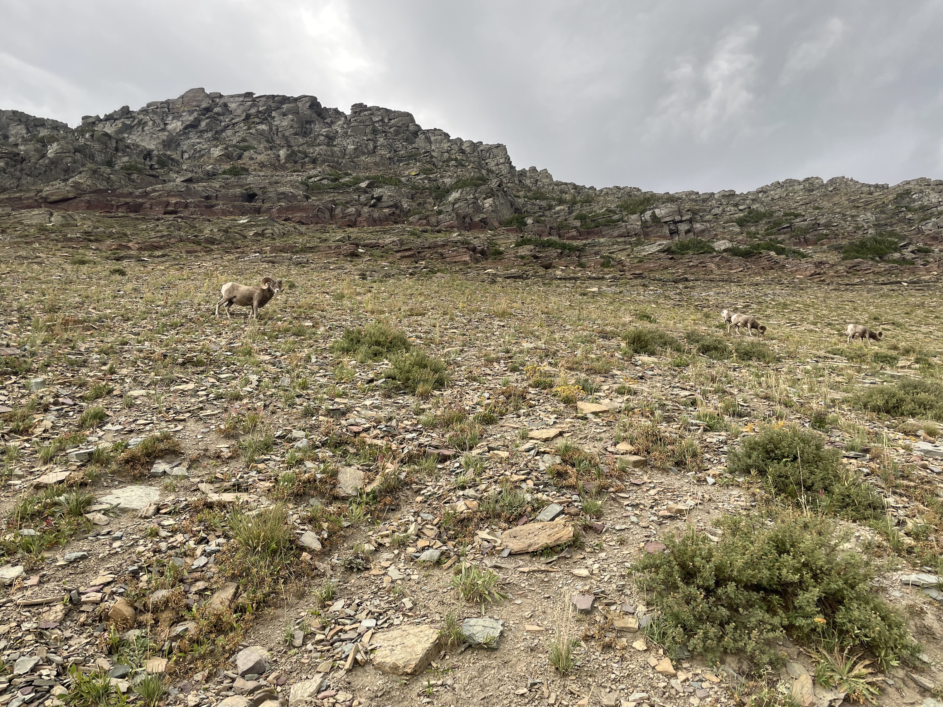
Eventually, you reach a fork in the road leading up to the Grinnell Glacier Overlook. Take it! I will not lie, the trail up (about 1000 ft in 1 mile) is a huge struggle, especially for our tired legs. However, the viewpoint, especially having seen the glacier from the the other side, was astounding. As a big bonus, we got up and close with some Big Horn Sheep.
The rest of the trail brings you to the Granite Park Chalet and down to the Loop. We read some reviews saying the portion closer to the Loop was "ugly", but we found the forested section a nice change of pace. On this day, we also switched from the East side of the park to the West, so the hike was on the way. All in all, we were pretty satisfied with our trek on the Highline.
Day 6: Avalanche Lake
In the original itinerary, this was another day hike at Siyeh Pass. But we were feeling pretty pooped out after four previous long hikes so decided to rearrange and hike Avalanche Lake instead. This had the advantage of being closer to Hungry Horse, which is where we were staying. Avalanche Lake is about a 5.5 mile hike, with 670 ft of elevation gain. We started at 11:45 am and finished in about 2 hours.
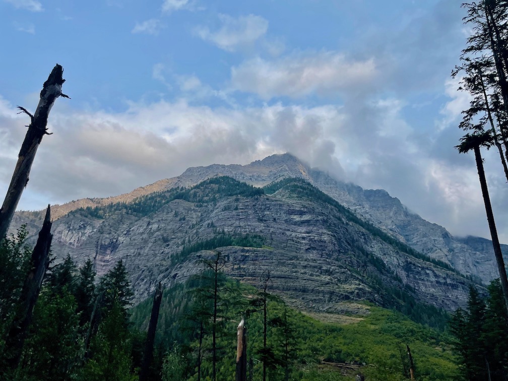
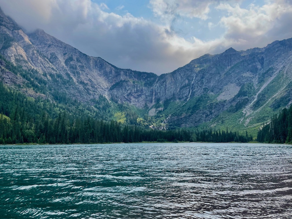
This is definitely a more family friendly hike. That isn't to say the trail isn't great; you end up at a lovely lake with quite the dramatic backdrop. We were hoping to see a moose (the last big animal we hadn't spotted yet), but today was not our day. Afterwards, we headed over Agpar and Lake McDonald Lodge to check out the sights there.
Day 7: Departure
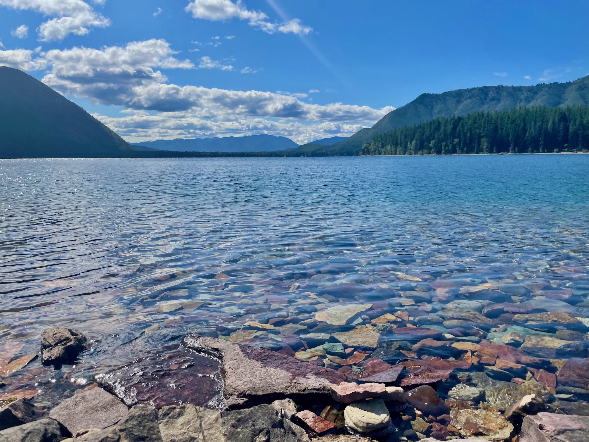
This was another easy day before we all flew out of Kalispell around 6:30 PM. We checked out the visitor center in Agpar and did a short trail, Rocky Point via Lake McDonald (2.2 miles, 340 ft, 1 hour), before driving back to Kalispell.
We totaled about 60 miles in this trip, mostly concentrated in the first four days. It definitely was some of the most hiking I've done, but I also enjoyed every second of it. Glacier National Park has so much to offer and is an unparalleled dive into nature. Just go! 😍
Italy
Art, wine, and mountains 👇
Zion
Desert scenes like no other 👇
